

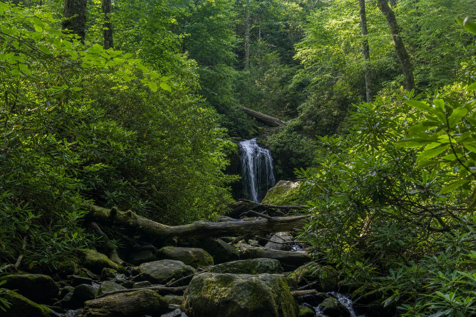
Roaring Fork Motor Nature Trail is a narrow, winding 5.5-mile one-way loop that starts at traffic light #8 in Gatlinburg. It is open in one long season, mid-April through November 29 in 2026, and closed all winter. The road follows the Roaring Fork stream through old-growth hemlock forest, past hand-built 19th-century homesteads and water-powered tub mills, and puts you at the Place of a Thousand Drips and the trailhead for Grotto Falls. Plan an hour with no stops, or three to four hours with a hike.
The drive is slow by design. It is narrow, steep and sharply curved, with little shoulder, which is exactly why it feels like a different world from the Parkway five minutes away.
When is Roaring Fork open?
The loop has a single season everywhere you read about it: the National Park Service schedule for 2026 lists April 17 through November 29, and the road closes for winter after that. It can also close without notice for storms or fallen trees. Check the park's road status page before you drive, especially after heavy rain.
The park also restricts vehicles. Nothing over 25 feet and no trailers is allowed, so RVs, buses and anything towing stay out. A standard passenger car is fine. Once you commit to the loop there is no turning back: the road finishes on Cherokee Orchard Road and returns you to Gatlinburg.
If the loop is closed or you do not want to drive it, try the Gatlinburg Trail from the Sugarlands Visitor Center (flat, paved, dog-friendly), the Newfound Gap Road overlooks, or a loop of Cades Cove. Several waterfall hikes near Gatlinburg start from other trailheads, so check the waterfalls list.
What is the order of stops on the loop?
The stops come in a deliberate sequence, and the park has signs at each one. Distances are approximate.
Noah "Bud" Ogle Place (mile 0.5). The first and richest cultural stop. The site has a log cabin with a dog-trot breezeway, a cantilever barn and a small tub mill. A short loop trail of about 0.7 mile circles the homestead and the flume. A tub mill was a family-scale operation: a wooden flume sent water from Roaring Fork onto a horizontal turbine, which turned a millstone just big enough to grind the family's corn. Standing beside it, with the stream running, is the clearest picture in the Smokies of how self-sufficient mountain life worked.
Stream views (miles 0.5 to 4.5). Between the named stops the Roaring Fork is constantly beside you. Small pullouts let you step out to short cascades over lichen-covered boulders and quiet pools, and after rain the water moves fast. None of these spots has signs, so stop when something looks right.
Ephraim Bales Place (mile 2.0). A farmstead from the late 19th century. Bales was a farmer and blacksmith, and the cabin, barn and open fields show what subsistence farming on steep, rocky ground looked like. The park mows the fields to keep the historic landscape; left alone, forest would take them back within a decade.
The Place of a Thousand Drips (mile 2.5). Not a single waterfall but a broad, moss-covered rock face, roughly 40 feet high and 80 feet wide, where water seeps and trickles through countless small channels. After a heavy rain it is a shimmering curtain; in a dry spell it can shrink to damp moss. The road passes directly beside it, and a small pullout lets you stop.
Grotto Falls and the Trillium Gap Trail (mile 3.0). The most popular trailhead on the loop. The hike is 2.6 miles round trip, moderate, with about 500 feet of climb through a cool, shaded old-growth hemlock cove. Grotto Falls is a 25-foot cascade, and the trail passes directly behind it, one of very few walk-behind waterfalls in the park. The small lot often fills by 9 a.m. on summer and fall weekends, so arrive early or late. A parking tag is required here like everywhere in the park. The Trillium Gap Trail continues past the falls to Mount LeConte, a very different day. The NPS has also posted a bear warning on this trail, so read the signs and carry your food properly.
Alfred Reagan Place (mile 4.0). The last preserved homestead. Reagan was a farmer, blacksmith, miller and storekeeper, and his house is painted a bright pink that was added long after his time and kept because it became a landmark. A second tub mill sits beside it, and the outbuildings show how prosperous a mountain farm could be.
What is the Cherokee Orchard Road bear closure?
As of the park's October 15, 2026 closures page, Cherokee Orchard Road is closed to pedestrians because of bear activity. Drivers must stay in their vehicles between the park boundary and the Ogle Homesite. That is the stretch you drive at the start of the loop, so do not park and walk there. Check the closures page for updates.
What wildlife lives along the loop?
- White-tailed deer are common in the fields at the homesteads. Morning and evening give the best odds.
- Wild turkeys forage along the forest edges, and toms strut in spring.
- Black bears live throughout the corridor, especially at dawn and dusk in spring and fall. Stay at least 50 yards (150 feet) away, never feed them and store scented items properly.
- Songbirds are numerous in the hemlock corridor, with more species passing through in migration.
What is Roaring Fork like by season?
- Spring (mid-April to May): trillium, phlox, wild ginger and bloodroot cover the forest floor, and the stream runs high and loud just after the road reopens.
- Summer (June to August): a thick green canopy and cool air under the hemlocks. Parking at Grotto Falls is under the most pressure.
- Fall (late October to early November): peak color along the whole loop and the busiest time. Weekend traffic can crawl and the Grotto Falls lot fills by 8 a.m. Go midweek, early or late.
- Winter (after November 29): closed. The road is too narrow and steep to maintain for ice.
Parking, cell service and facilities
Any vehicle parked longer than 15 minutes in the park, including every pullout on Roaring Fork and the Grotto Falls lot, needs a parking tag: $5 daily, $15 weekly or $40 annual. Federal passes are not accepted in place of it. Cell service is unreliable and there are no restrooms on the loop, so stop at the Sugarlands Visitor Center or in Gatlinburg first. Bring water and snacks if you plan to hike, and give the drive more time than 5.5 miles suggests.
Photography notes
- Ogle Place: the tub mill and flume look best after a rainy stretch. Early light through the hemlocks is cleaner than midday.
- Thousand Drips: after heavy rain, use a slow shutter to blur the many streams into a soft curtain. A neutral density filter helps in daylight.
- Grotto Falls: the walk-behind position gives a rare composition, with the falls in the foreground and forest through the water. A tripod is close to required in the low light.
- Reagan Place: the pink house reads best against green leaves on overcast days.
- Fall color: every pullout works at peak. The forest leans into the road, so a wide-angle lens captures more than most people expect.
- Stream long exposures: the small cascades hold up well to 1- to 2-second shutter speeds.
Treat the 5.5 miles as 55 and the loop pays back the time.