

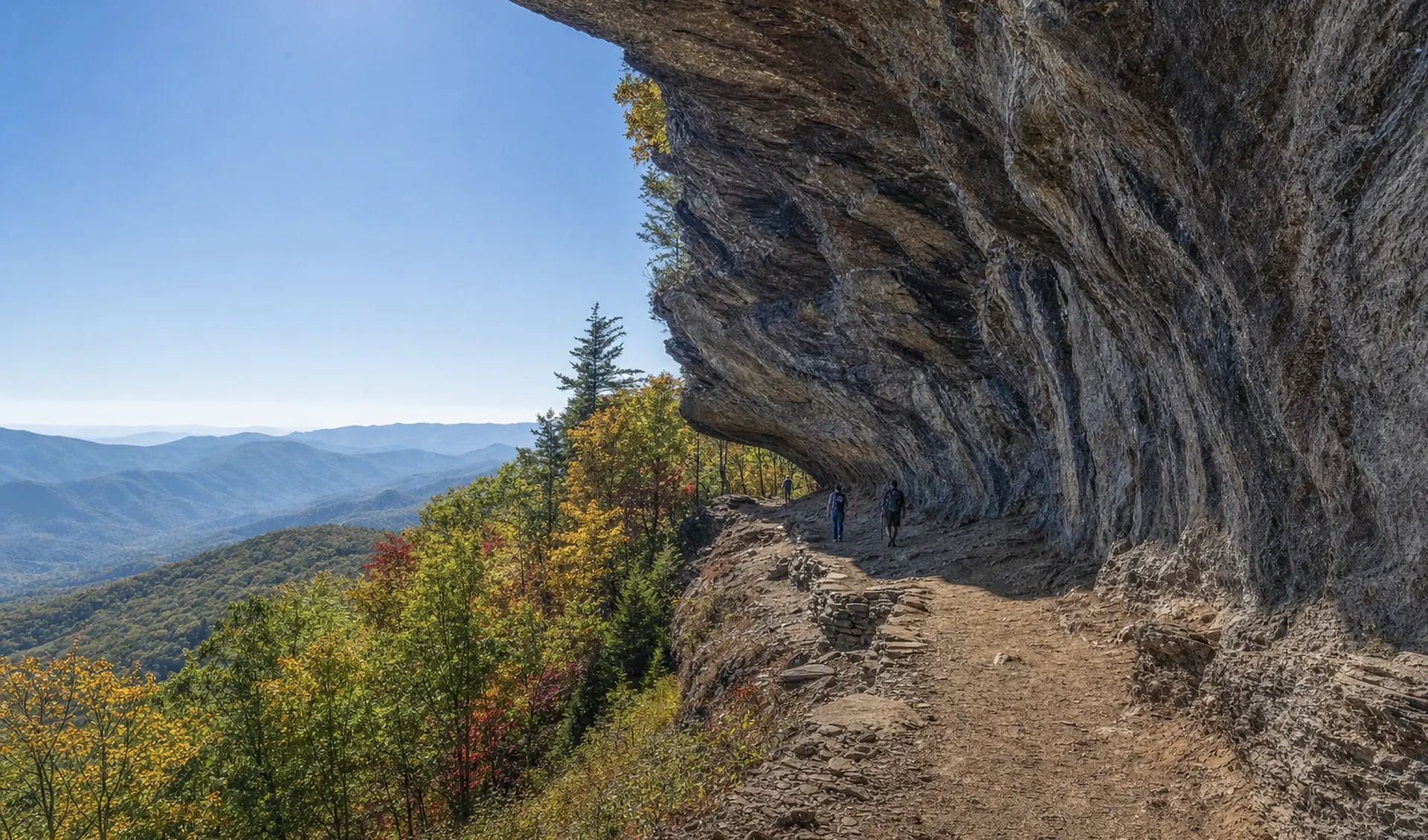
The best hikes in the Smokies depend on what you want from the day. For a waterfall that is worth the effort, take Rainbow Falls (5.6 miles round trip) or Grotto Falls (2.6 miles, with a walk behind the water). For a summit view, climb Alum Cave Trail to the bluffs (4.6 miles) or stand on the observation tower at Kuwohi (1 mile round trip). For a gentle walk, try the Gatlinburg Trail. Laurel Falls Trail is closed until 2027, so skip it.
Most of these routes are inside Great Smoky Mountains National Park, which has no entrance fee. You do need a parking tag ($5 a day, $15 a week, $40 a year) if your vehicle is parked longer than 15 minutes, and federal passes such as America the Beautiful are not accepted. The Park Service fee page has the current details, and our parking guide covers where to buy one.
Which Smoky Mountains hike should you pick?
Start with your goal, then match it to your legs and your calendar.
- Best waterfall payoff: Rainbow Falls for an 80-foot drop and a real workout, Grotto Falls for the shorter walk-behind experience.
- Best view for the effort: Kuwohi tower (1 mile round trip), then Andrews Bald (3.6 miles round trip) for a grassy bald with long views.
- Best all-day challenge: Alum Cave Trail to Mount LeConte (10 miles round trip) or Charlies Bunion (8 miles round trip) from Newfound Gap.
- Best flat walk: the Gatlinburg Trail or Oconaluftee River Trail, the only two park trails that welcome leashed dogs.
- Best for small kids: Mingo Falls, Juney Whank Falls or the Deep Creek loop.
- Best for solitude: Hen Wallow Falls at Cosby, or Deep Creek on the North Carolina side.
The 15 best hikes at a glance
Distances below are round trip. The Park Service publishes lengths for most of these hikes but rarely publishes elevation gain, so the gain figures are approximate and meant for comparing hikes, not for navigation. Always check the park's trail closures page before you drive to a trailhead.
| Hike | Round trip | Gain (approx.) | Difficulty | Best season | Crowds | Trailhead / area |
|---|---|---|---|---|---|---|
| Kuwohi tower | 1.0 mi | 330 ft | Short but steep | Apr to Nov (road season) | Very high | Kuwohi Road |
| Mingo Falls | under 1 mi | 150 ft | Easy, many steps | Spring, after rain | High | Big Cove Road, Cherokee |
| Gatlinburg Trail | about 4 mi | minimal | Easy | Year-round | Moderate | Sugarlands to Gatlinburg |
| Oconaluftee River Trail | about 3 mi | minimal | Easy | Year-round | Moderate | Oconaluftee, Cherokee |
| Deep Creek loop | 2.4 mi loop | 200 ft | Easy | Spring to fall | Moderate | Deep Creek, Bryson City |
| Grotto Falls | 2.6 mi | 550 ft | Moderate | Spring to fall | Very high | Roaring Fork, Gatlinburg |
| Andrews Bald | 3.6 mi | 700 ft | Moderate | Late spring, fall | High | Kuwohi parking area |
| Chimney Tops overlook | 3.5 mi | 1,300 ft | Strenuous | Fall, winter | High | Newfound Gap Road |
| Hen Wallow Falls | 4.3 mi | 900 ft | Moderate | Spring to fall | Low | Cosby |
| Abrams Falls | 5.0 mi | 340 ft | Moderate | Spring, early fall | High | Cades Cove Loop |
| Alum Cave Bluffs | 4.6 mi | 1,100 ft | Moderate to strenuous | Year-round | Very high | Newfound Gap Road |
| Rainbow Falls | 5.6 mi | 1,500 ft | Strenuous | Spring, fall | High | Cherokee Orchard Road |
| Charlies Bunion | 8.0 mi | 1,500 ft | Strenuous | Late spring to fall | High | Newfound Gap |
| Ramsey Cascades | 8.0 mi | 2,000+ ft | Strenuous | Spring, after rain | Moderate | Greenbrier |
| Mount LeConte via Alum Cave | 10.0 mi | 2,700 ft | Strenuous | Spring to fall | High | Newfound Gap Road |
One note on Grotto Falls: the Park Service overview says 2.6 miles round trip, while another line on the same page says 4. Plan for roughly 2.6 to 3 miles and budget extra time on the rocks and roots. Mingo Falls is on Cherokee land outside the park, so the park parking tag does not apply there.
What are the best easy hikes in the Smokies?
The easy list is better than people expect. The Gatlinburg Trail runs along the West Prong of the Little Pigeon River from the Sugarlands Visitor Center toward town, and it is one of only two park trails where a leashed dog can come along. On the North Carolina side, the Oconaluftee River Trail runs from the Oconaluftee Visitor Center and is the best place to look for elk near sunrise and sunset. The Deep Creek loop strings together Juney Whank, Tom Branch and Indian Creek falls in about 2.4 miles, and it is a calmer alternative to the Gatlinburg crowds. For more, browse the full hiking guide.
What are the best waterfall hikes?
Rainbow Falls is the strongest all-around waterfall hike on the Gatlinburg side: 5.6 miles round trip with about 1,500 feet of climbing, and the Park Service notes the trail is very steep and rocky and often icy in winter. Grotto Falls lets you walk behind the water and is a good first Smokies waterfall for fit kids. Abrams Falls (5 miles round trip from Cades Cove) has a big pool, but the Park Service says swimming is strongly discouraged because of slippery rocks and a deadly undertow, and the trail is closed Monday to Thursday from August 24 to September 30 for footlog work. Ramsey Cascades is the tallest waterfall in the park and the hardest of the group. Hen Wallow Falls at Cosby is the quiet pick. See the full waterfalls guide for the rest.
Laurel Falls Trail has been closed since January 2025, and the Park Service expects it to reopen sometime in 2027. Its closure is the main reason Grotto and Rainbow Falls are crowded, so go early on a weekday.
What are the best summit and view hikes?
Kuwohi is the highest point in the park at 6,643 feet, and the walk to the tower is paved but very steep. See our Kuwohi guide for season dates and weather. From the same parking area, Andrews Bald adds a high, open meadow that is especially good in June when the flame azaleas bloom. Alum Cave Trail passes Arch Rock and the bluffs, then continues to the lodge on Mount LeConte, and the Park Service calls it the shortest of the five routes to the summit. Charlies Bunion is an 8-mile round trip on the Appalachian Trail from Newfound Gap, with a rock outcrop and a big drop on the far side. Winter ice and sudden storms make these high-elevation hikes dangerous in cold months, so carry microspikes and check the forecast.
Chimney Tops is now a hike to an overlook. The trail is closed at the 1.75-mile mark, so the summit pinnacles are off limits. The Bullhead Trail to LeConte is closed Monday to Thursday through November 19, 2026, so use Alum Cave instead.
What are the best quiet hikes?
October on the Gatlinburg side feels like a theme park queue. Move to the edges. Hen Wallow Falls from Cosby, Deep Creek above Bryson City, Big Creek near Waterville and the Greenbrier valley all see a fraction of the traffic. After Hurricane Helene, several trails on the North Carolina side are still damaged or closed, including parts of Big Creek Trail beyond Mouse Creek Falls and several Cataloochee trails, so use the NPS closures page to confirm. Go on a weekday, start before 8 a.m., and you will often have the trail mostly to yourself.
Which hikes work for kids?
Choose short mileage and a payoff. Mingo Falls is under a mile but has a long staircase, and the 120-foot falls are tall enough to impress older kids. Juney Whank Falls is a short loop near Deep Creek. The Gatlinburg Trail is flat and wide. Grotto Falls works for school-age kids who have some stamina. Pack snacks, expect to turn around early, and keep children away from the water's edge, since the Park Service lists drowning among the leading causes of death in the park. Our families guide has more ideas.
Safety notes before you go
- Weather changes fast. Mountain temperatures can be 10 to 20 degrees cooler than the valleys, and afternoon thunderstorms build quickly in summer.
- Water is dangerous. The Park Service does not recommend water recreation in the park. Stay off wet rocks above and around waterfalls.
- Black bears live here. Keep your distance, store food properly and carry bear spray if you have it. Read our bear safety guide.
- No dogs on most trails. Only the Gatlinburg Trail and Oconaluftee River Trail allow leashed pets. See the pets guide.
- Start early. Popular trailhead lots, including Alum Cave and Rainbow Falls, fill by about 9 a.m. on busy days.
- Carry water, a headlamp and a paper map. Cell service is patchy.