

Smokies weather depends mostly on elevation: for every 1,000 feet you climb, expect about 3.5 degrees cooler, so a 70-degree day in Gatlinburg can be 50 at Newfound Gap and colder at Kuwohi. Valleys get 55 to 65 inches of rain a year and the highest peaks 80 or more, and summer thunderstorms build fast on hot afternoons. Pack for the highest point you plan to reach, not your hotel.
The 5,000-plus foot range between the lowest park entrance and the summits produces very different weather on the same day, and storms can erupt from clear skies within an hour. The live conditions above show the current picture, and the guide below covers what to expect month by month.
What are the weather basics?
- Elevation range: about 875 feet at the lowest park entrance to 6,643 feet at Kuwohi (formerly Clingmans Dome)
- Temperature drop: roughly 3.5 degrees per 1,000 feet. At 5,000 feet, expect about 18 degrees cooler than the valley.
- Annual rainfall: 55 to 65 inches in the valleys, 80 or more on the highest peaks, among the highest totals east of the Pacific Northwest
- Snowfall: 5 to 10 inches a year in the valleys, intermittent; far more on the high peaks
- Wind: gusts of 70 mph or more are possible on exposed ridges and balds
What is the weather like month by month?
| Month | Valleys | What to expect |
|---|---|---|
| January | 25-45°F | High peaks 5-30°F. Ice on high roads; Newfound Gap closes at times; cloud inversions after clear cold nights |
| February | Cold, slowly warming | Similar to January; first valley wildflowers late in the month |
| March | 35-60°F | Wildly variable, 70 and sunny or 30 and snowing in the same week; snow still possible on the peaks |
| April | 45-70°F | Wildflowers peak mid-to-late month; late-April snow possible at Kuwohi |
| May | 55-78°F | Full leaf-out; more thunderstorms; fireflies at Elkmont late in the month |
| June | 65-85°F | High peaks 50-70°F. Regular afternoon storms; flame azaleas on the balds |
| July | 68-88°F | High peaks 60-75°F. Hottest and most humid; storms nearly every afternoon |
| August | 68-88°F | Similar to July; humidity eases late; haze at its peak |
| September | 55-82°F | Cooling; elk rut begins; first color at high elevation |
| October | 45-75°F | High peaks 30-55°F. Peak visitor month; color moves down the mountain; first frost common |
| November | 35-60°F | High peaks 20-45°F. Late valley color early in month; first snows on the ridges |
| December | 30-50°F | High peaks 10-35°F. Lights season; Kuwohi Road and Roaring Fork close after Nov 29 |
These are typical ranges, not forecasts. For your dates, check the NOAA point forecast for the exact elevation, and read the NPS conditions page each morning.
When do thunderstorms hit?
Afternoon storms are common from late April through September, peaking in July and August. A typical day: clear or thin clouds in the morning, convection building by midday, heavy rain, lightning and sometimes hail from 3 to 6 p.m., then clearing in the evening.
Lightning is a serious risk at elevation. If you are on a bald, a fire tower, an open ridge or Kuwohi's observation tower and a storm approaches, descend immediately. If you are caught, lose elevation, crouch in a low spot and spread your group out. See the summer guide for hiking schedules that avoid storms.
What is a cloud inversion and where can you see one?
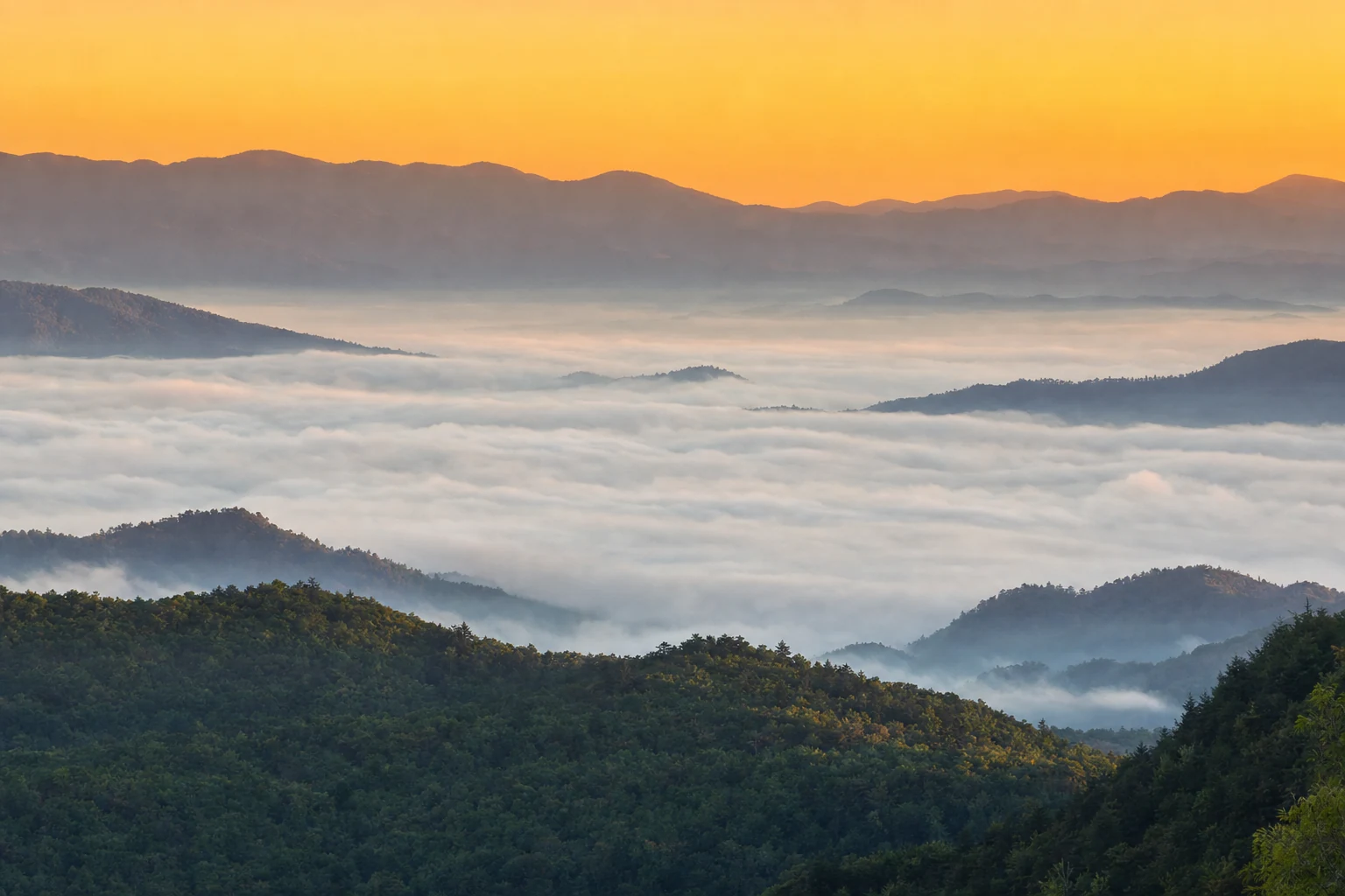
A cloud inversion is valley fog below clear ridges. It forms on cold, clear mornings after a warm, rainy day: cold air settles into the valleys, moisture condenses, and the ridges stay above the fog.
Best spots: Newfound Gap, Kuwohi, Morton Overlook, the Foothills Parkway (Look Rock especially) and Waterrock Knob on the Blue Ridge Parkway. Best time: October to January, from about 30 minutes before to 60 minutes after sunrise. Drive up in the dark and shoot at first light. See the photography guide.
Why are they called the Smokies?
The blue haze comes from volatile organic compounds, mostly terpenes, released by the forest and mixed with water vapor. It is most visible on warm, humid days and in August, and valley fog often clears by midday. Modern regional air pollution adds to the haze on some days, which can reduce long views.
What should you pack?
- A rain jacket, every trip and every season.
- A warm layer, every trip. Mountain cold surprises people in summer, too.
- Boots with good traction. Wet rocks are more dangerous than cold.
- A windbreaker for exposed ridgetops.
- Water. Exertion and elevation dehydrate you faster than you expect.
- Sunscreen. UV is stronger at 5,000 feet, even through haze.
Plan around events and seasons with the events calendar, and see winter and fall foliage for season-specific planning.