

Smokies guide
Smokies Hiking Trails
Every named hiking trail in Great Smoky Mountains National Park and the surrounding federal and state lands, from paved quarter-mile strolls to strenuous peak scrambles.
91 entries across 17 locations checked against official sources.
The best easy-to-moderate hikes in the Smokies in 2026 include Grotto Falls, Abrams Falls, Rainbow Falls, Alum Cave Trail and the paved Gatlinburg Trail. Laurel Falls Trail is closed until at least 2027 for rehabilitation, so do not plan a trip around it. The park has over 520,000 acres and more than 800 miles of maintained trails, from half-mile paved loops to the 71-mile park section of the Appalachian Trail. The surrounding Pisgah, Cherokee and Nantahala national forests and state parks add hundreds more.
This index covers every named trail in our database, from the quiet Ace Gap and Gregory Bald to the popular Alum Cave. Roughly: easy trails run under two miles with little climbing, moderate day hikes are under six miles, and strenuous routes climb 2,000 feet or more. Each page links to trailhead coordinates, an official NPS or Forest Service page where one exists, and a map of nearby lodging.
Several trails on the North Carolina side, including parts of Big Creek, Boogerman and Caldwell Fork, are still damaged from Hurricane Helene, and Bullhead Trail is closed Monday through Thursday through November 19, 2026. Check the park's closures page before you go. A parking tag is required for any vehicle parked more than 15 minutes in the park ($5 daily, $15 weekly, $40 annual), and federal passes are not accepted. Carry more water than you think you need, expect no cell signal at most trailheads, and give the park's roughly 1,500 bears plenty of room.
Plan smarter
Start early, finish early
Trailhead parking at popular trails (Alum Cave, Grotto Falls, Abrams Falls, Kuwohi) fills before 8:30 a.m. on peak-season weekends. Arrive before 7:30 or after 2 p.m.
Check closures
Roads, bridges and trails close for weather, repairs and bear activity. Laurel Falls Trail is closed until 2027. Check nps.gov/grsm current conditions the morning of your hike.
Dress for mountain weather
Summit temperatures run 15 to 20 degrees cooler than the valleys, and fast-moving rain is common between April and October. Carry a rain layer and a warm layer even in July.
Gatlinburg 30 entries

Gatlinburg, TN
Alum Cave Trail to Mount LeConte
Alum Cave Trail climbs past Arch Rock and the bluffs toward Mount LeConte: 4.6 miles round trip to the bluffs, a strenuous 10 miles to the summit.
Gatlinburg, TN
Andrews Bald Trail (via Forney Ridge Trail)
Andrews Bald is a 3.6-mile round trip from the Kuwohi lot to a grassy bald with big views and summer azaleas. The climb back is the hard part.
Gatlinburg, TN
Appalachian Trail (AT) - Various Sections
The Appalachian Trail runs about 71 miles through the park. Day hikes from Newfound Gap or Kuwohi are popular, and longer trips need backcountry permits and shelter reservations.
Gatlinburg, TN
Backcountry Horse Camp Trails (various)
The park has five horse camps and horse-friendly trails at Cades Cove, Cataloochee, Big Creek, Deep Creek and Smokemont. Here is how the camps and seasons work.
Gatlinburg, TN
Bullhead Trail to Mount LeConte
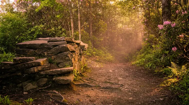
Bullhead Trail to Mount LeConte is a strenuous 13.6-mile round trip. It is closed Monday through Thursday through Nov. 19, 2026 for rehabilitation, so plan for Friday to Sunday.
Gatlinburg, TN
Cataract Falls Trail
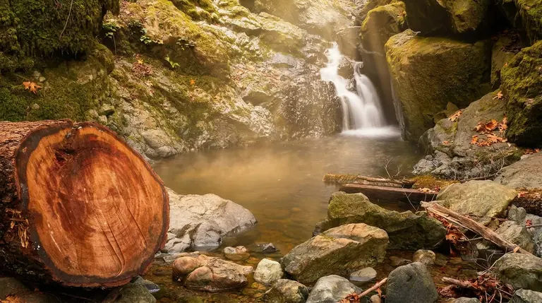
Cataract Falls is a short, easy walk of a quarter mile from Sugarlands Visitor Center to a small waterfall. A quick stop for families near Gatlinburg.
Gatlinburg, TN
Charlies Bunion (via AT from Newfound Gap)
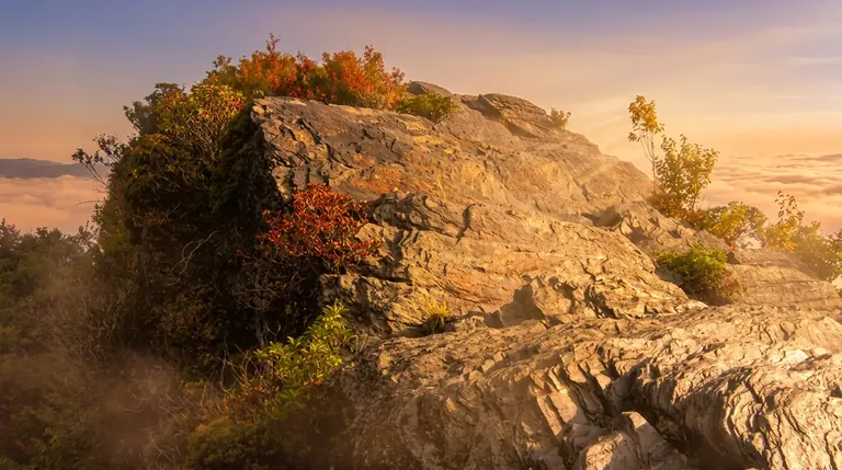
Charlies Bunion is an 8-mile round trip on the Appalachian Trail from Newfound Gap to a dramatic rocky outcrop. Long, but not steep, and cool in summer.
Gatlinburg, TN
Chimney Tops Trail
Chimney Tops Trail is a steep 3.5-mile round trip to an overlook of the pinnacles. The summit scramble stays closed after the 2016 fire, so the overlook is the goal.

Gatlinburg, TN
Clingmans Dome Bypass Trail
The Kuwohi Bypass Trail is a half-mile connector from the Forney Ridge parking area to the Appalachian Trail, letting hikers skip the crowded observation-tower path.
Gatlinburg, TN
Cove Hardwood Nature Trail
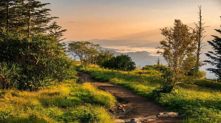
Cove Hardwood Nature Trail is a short three-quarter-mile walk through old-growth forest off Newfound Gap Road. Easy, shady and quiet, with giant trees and spring flowers.
Gatlinburg, TN
Forney Ridge Trail
Forney Ridge Trail starts at the Kuwohi lot, reaches Andrews Bald in 1.8 miles and drops on for about 5 miles. Most day hikers turn around at the bald.
Gatlinburg, TN
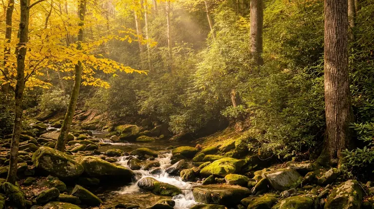
Gatlinburg Trail
Gatlinburg Trail is an easy 4-mile round trip along the Little Pigeon River near town, and one of just two park trails that allow dogs and bikes.
Gatlinburg, TN
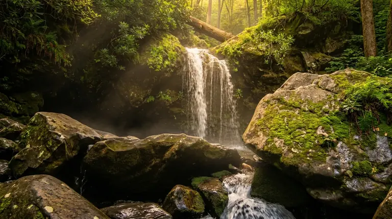
Grotto Falls Trail (Trillium Gap Trail)
Grotto Falls is a 2.6-mile round trip on the Trillium Gap Trail to a waterfall you can walk behind. Moderate, muddy in spots, and a good Laurel Falls alternative.
Gatlinburg, TN
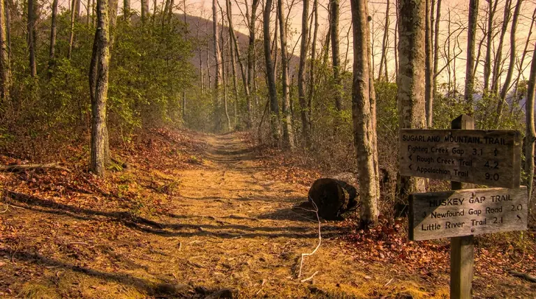
Huskey Gap Trail
Huskey Gap Trail runs about 4.1 miles from Newfound Gap Road to the Little River Trail. A moderate, quieter route; the Sugarland Mountain Trail nearby is closed.
Gatlinburg, TN
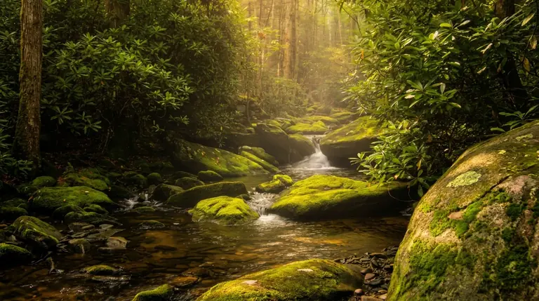
Jakes Creek Trail
Jakes Creek Trail climbs about 3.6 miles from Elkmont past historic sites and spring wildflowers to the Miry Ridge junction. Part of a popular loop.
Gatlinburg, TN
Kuwohi (Clingmans Dome) Paved Trail
The paved path to Kuwohi's tower is a steep one-mile round trip to the park's highest point. Kuwohi Road is open April 1 to Nov. 29 in 2026.
Gatlinburg, TN
Laurel Falls Trail
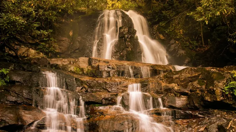
Laurel Falls Trail is closed until sometime in 2027. See what is changing and which open waterfall hikes, like Grotto Falls and Rainbow Falls, to do instead.
Gatlinburg, TN
Little Greenbrier Trail
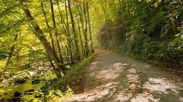
The Little Greenbrier School hike is a 3.4-mile round trip from Metcalf Bottoms to a one-room schoolhouse and the Walker homestead. A moderate walk with real history.
Gatlinburg, TN
Little River Trail
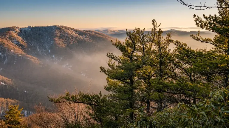
Little River Trail is a gentle railroad-grade walk through the old Elkmont community, with creek scenery and as many miles as you want. Turn around whenever you like.
Gatlinburg, TN
Miry Ridge Trail
Miry Ridge Trail is a strenuous 4.9-mile backcountry route from the Jakes Creek junction to the Appalachian Trail, reached by hiking up from Elkmont first.
Gatlinburg, TN
Old Settlers Trail
Old Settlers Trail runs about 15.5 miles between Greenbrier and Cosby past old homesites and chimneys. A long, strenuous point-to-point best done as an overnight.
Gatlinburg, TN
Old Sugarlands Trail
Old Sugarlands Trail runs about 3.9 miles through old homesite country from near Sugarlands Visitor Center to the Rainbow Falls trailhead. A moderate shuttle hike.
Gatlinburg, TN
Porters Creek Trail (Greenbrier)
Porters Creek Trail in Greenbrier is about 4 miles round trip to Fern Branch Falls, with spring wildflowers, a creek and homesite ruins along the way.
Gatlinburg, TN
Rainbow Falls Trail to Mount LeConte
Rainbow Falls Trail is a 5.6-mile round trip to an 80-foot waterfall near Gatlinburg. Moderate but steep, and the same trail continues on to Mount LeConte.
Gatlinburg, TN
Ramsey Cascades Trail (Greenbrier)
Ramsey Cascades is an 8-mile round trip in Greenbrier to the tallest waterfall in the park. Strenuous, with about 2,200 feet of climbing and old-growth forest.
Gatlinburg, TN
Road Prong Trail
Road Prong Trail climbs about 2.2 miles from the Chimney Tops area up an old route to the Appalachian Trail near Indian Gap. Steep and quieter.
Gatlinburg, TN
Rocky Top (via AT from Kuwohi)
Reaching Rocky Top from Kuwohi on the Appalachian Trail is a 15-mile one-way backpack, so most day hikers approach it from the Cades Cove side instead.
Gatlinburg, TN
Sugarlands Valley Nature Trail
Sugarlands Valley Nature Trail is a paved, flat half-mile loop through cove hardwood forest with stone chimneys. Good for kids and anyone who wants an easy stroll.
Gatlinburg, TN
Tricorner Knob (via AT)
Tricorner Knob is a remote Appalachian Trail shelter about 15 miles from Newfound Gap. A strenuous multi-day backpack that needs a backcountry permit and reservations.
Gatlinburg, TN
Trillium Gap Trail (to Grotto Falls and Mount LeConte)
The Trillium Gap Trail passes Grotto Falls and climbs to Mount LeConte, a strenuous 13-mile round trip. Most visitors stop at the waterfall; the summit is a long day.
Townsend 16 entries

Townsend, TN
Abrams Falls Trail
Abrams Falls Trail is a 5-mile round trip from Cades Cove to a 25-foot waterfall and big pool. Moderate and busy; swimming here is dangerous.
Townsend, TN
Ace Gap Trail
Ace Gap Trail is a quiet 5.3-mile route from Rich Mountain Road above Cades Cove to the Beard Cane Trail. Moderate terrain and few other hikers.
Townsend, TN
Bote Mountain Trail
Bote Mountain Trail climbs about 6.8 miles from Laurel Creek Road to Spence Field on the Appalachian Trail. A strenuous ridge route with links to Rocky Top.
Townsend, TN
Cades Cove Nature Trail
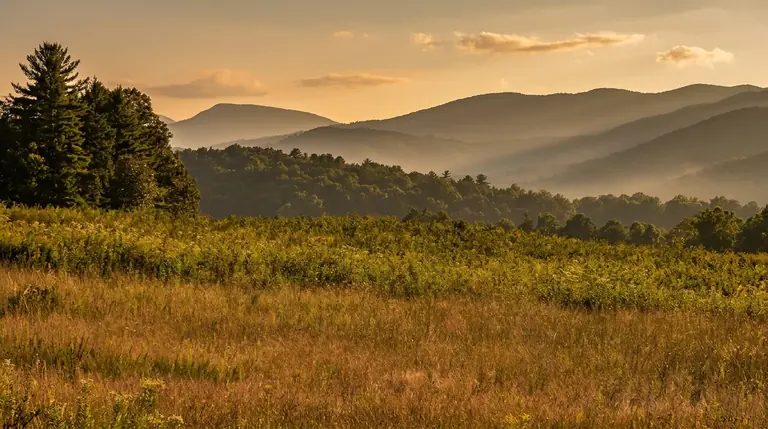
Cades Cove Nature Trail is an easy loop of about 0.8 miles off the Cades Cove Loop Road. A short forest stroll for kids and anyone who wants a break from the car.
Townsend, TN
Cooper Road Trail
Cooper Road Trail is a 10.9-mile one-way old road from Cades Cove toward Abrams Creek. Gentle grades, but a long day that works best with a shuttle.
Townsend, TN
Indian Grave Gap Trail
Indian Grave Gap Trail runs about 3.6 miles through the ridges above Cades Cove to the Crooked Arm Ridge and Scott Mountain trails. A moderate connector.

Townsend, TN
Lead Cove Trail
Lead Cove Trail climbs about 1.8 miles from Laurel Creek Road to Bote Mountain Trail and anchors the 6.9-mile Finley Cane, Bote Mountain and Lead Cove loop.
Townsend, TN
Lumber Ridge Trail
Lumber Ridge Trail climbs about 4.1 miles from Tremont to the Meigs Creek and Meigs Mountain trails. Moderate and quiet, and easy to link into loops.

Townsend, TN
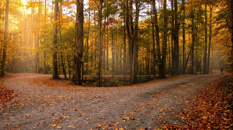
Meigs Creek Trail
Meigs Creek Trail starts near The Sinks on Little River Road and follows the creek about 3.4 miles. Moderate, with stream crossings that get tricky after rain.
Townsend, TN
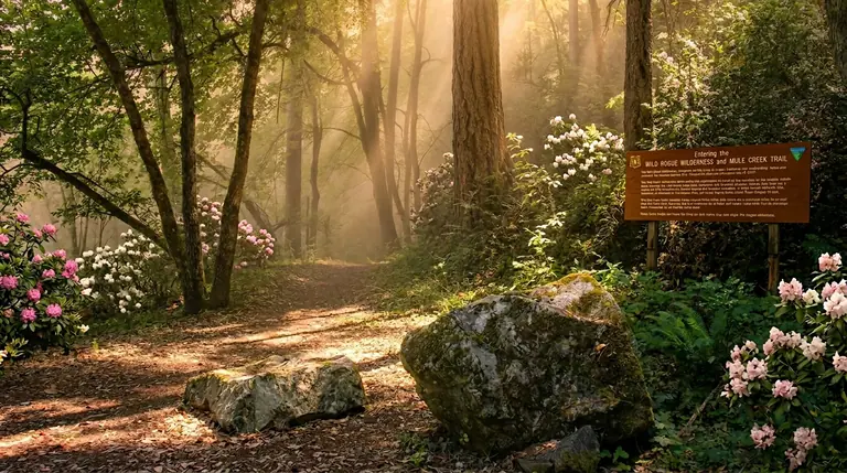
Middle Prong Trail
Middle Prong Trail follows an old railroad bed in Tremont. Walk 1.4 miles round trip to Lynn Camp Prong Cascades, or go farther for a longer hike.
Townsend, TN
Panther Creek Trail
Panther Creek Trail is a steep 2.2-mile backcountry link between the Middle Prong Trail and the Jakes Creek and Miry Ridge junction. Best in a longer loop.
Townsend, TN
Parson Branch Road Trail (Cades Cove)
Parson Branch Road is an 8-mile one-way gravel road with stream fords in the park's southwest. It is open May 1 to Nov. 9 in 2026; high clearance helps.
Townsend, TN
Rich Mountain Loop Trail (Cades Cove)
Rich Mountain Loop is a strenuous circuit of about 8.5 miles above Cades Cove, starting near the John Oliver cabin. A long day with few other hikers.
Townsend, TN
Spence Field (via Bote Mountain Trail)
Spence Field is a high grassy bald on the Appalachian Trail, reached by a strenuous 6.8-mile climb on Bote Mountain Trail. Rocky Top is about a mile farther.
Townsend, TN
Turkeypen Ridge Trail
Turkeypen Ridge Trail is a quiet 3.6-mile ridge walk from Laurel Creek Road to the Schoolhouse Gap Trail. Moderate and rolling, with far fewer people than Cades Cove.
Townsend, TN
West Prong Trail
West Prong Trail is a 5.4-mile round trip from Tremont near Townsend along the West Prong of the Little River to the Bote Mountain Trail. Moderate, quiet and shaded.
Cherokee 11 entries

Cherokee, NC
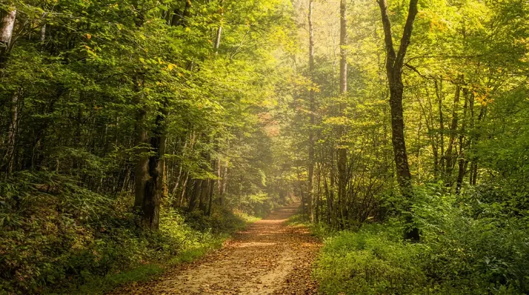
Balsam Mountain Trail
Balsam Mountain Trail is a long ridge route of about 10 miles to the Appalachian Trail. NPS advises extra caution because of Hurricane Helene damage.
Cherokee, NC
Bradley Fork Trail
Bradley Fork Trail leaves Smokemont Campground on an old railroad grade for about 7 miles along a lovely creek, with a side trip to Chasteen Creek Cascade.
Cherokee, NC
Chasteen Creek Trail
Chasteen Creek Cascade is a 3.6-mile round trip from Smokemont Campground on a wide, well-graded path. A good family hike on the Cherokee side of the park.
Cherokee, NC
Dry Sluice Gap Trail
Dry Sluice Gap Trail is a strenuous 4.1-mile backcountry climb to the Appalachian Trail from the Smokemont area. Best for experienced hikers with a map and a plan.
Cherokee, NC
Flat Creek Trail
Flat Creek Trail runs about 2.6 miles between Heintooga Ridge Road and the Heintooga Picnic Area through cool high forest. A quiet, moderate hike in summer and fall.
Cherokee, NC
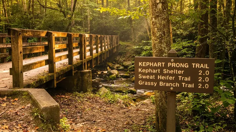
Kephart Prong Trail
Kephart Prong Trail is a 4-mile round trip on the NC side of Newfound Gap Road to a CCC camp ruin and shelter. Moderate, with log footbridges.
Cherokee, NC
Mingo Falls Trail (Qualla Boundary / EBCI Lands)
Mingo Falls is a short, steep staircase walk near Cherokee, NC, to a waterfall about 120 feet tall. It is on Qualla Boundary land, not in the national park.
Cherokee, NC
Mingus Creek Trail
Mingus Creek Trail climbs about 5.8 miles from the Mingus Mill area near Cherokee to Newton Bald Trail. Strenuous and quiet; Mingus Mill itself is closed.
Cherokee, NC
Oconaluftee River Trail
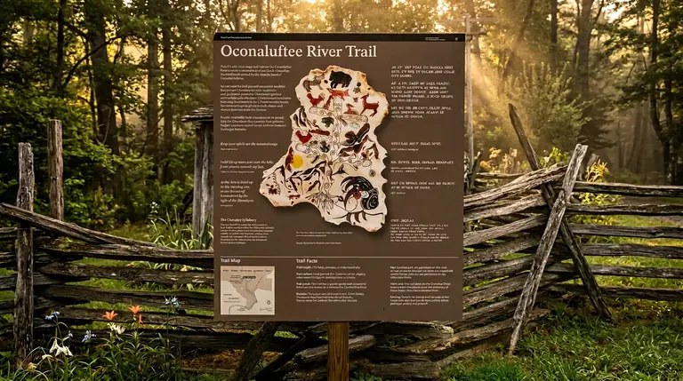
The Oconaluftee River Trail is an easy 3-mile round trip from the Oconaluftee Visitor Center, and one of two park trails that welcome dogs and bikes.
Cherokee, NC
Smokemont Loop Trail
Smokemont Loop Trail climbs from Smokemont Campground to a ridge and returns along Bradley Fork. A moderate loop of roughly 5 to 6 miles on the Cherokee side.
Cherokee, NC
Sweat Heifer Creek Trail
Sweat Heifer Creek Trail is a steep 3.6-mile climb to the Appalachian Trail, reached by hiking about 2 miles up the Kephart Prong Trail first. Strenuous and quiet.
Bryson City 7 entries
Bryson City, NC
Cold Spring Gap Trail
Cold Spring Gap Trail is a strenuous 4.3-mile backcountry link between Hazel Creek and Welch Ridge, reached by long hikes or a Fontana Lake shuttle.
Bryson City, NC
Deep Creek Horse Trail
Deep Creek Horse Trail is a gentle 1.8-mile connector near Bryson City between the Deep Creek and Noland Divide trails. Hikers may use it too.
Bryson City, NC
Deep Creek Loop (Three Waterfalls Trail)
The Deep Creek Waterfalls Loop is a 2.4-mile route near Bryson City past Juney Whank, Tom Branch and Indian Creek Falls. A gentle hike for families.
Bryson City, NC
Fork Ridge Trail
Fork Ridge Trail drops about 5 miles and 2,750 feet from Kuwohi Road to the Deep Creek Trail. A steep one-way descent that needs a shuttle.

Bryson City, NC
Hazel Creek Trail
Hazel Creek Trail is a remote 14-mile backcountry route up a historic watershed, reached by boat shuttle across Fontana Lake. Plan permits, shuttles and lake levels.
Bryson City, NC
Indian Creek Trail (Deep Creek)
The Deep Creek Trail to Indian Creek Falls is a 1.6-mile round trip near Bryson City, passing Tom Branch Falls. Short, easy and family friendly.
Bryson City, NC
Juney Whank Falls Trail (Deep Creek)
Juney Whank Falls is a short, steep walk from Deep Creek Campground to a thin double waterfall. Under a mile round trip and an easy add-on.
Cosby 5 entries
Cosby, TN
Cosby Nature Trail
Cosby Nature Trail is an easy half-mile loop near Cosby Campground. A gentle forest walk on the quiet northeast side of the park, good for kids and a short stretch.
Cosby, TN
Gabes Mountain Trail
Gabes Mountain Trail runs about 7 miles from the Cosby picnic area past the Hen Wallow Falls spur to the Maddron Bald junction. Quiet and moderate.
Cosby, TN
Hen Wallow Falls Trail (Cosby)
Hen Wallow Falls is a 4.3-mile round trip from Cosby to a 90-foot waterfall. Moderate, with some switchbacks, and quieter than the waterfall hikes near Gatlinburg.
Cosby, TN
Lower Mount Cammerer Trail
Lower Mount Cammerer Trail leaves Cosby for the Appalachian Trail and a short spur to the fire tower: a strenuous day of roughly 11 miles round trip.
Cosby, TN
Maddron Bald Trail
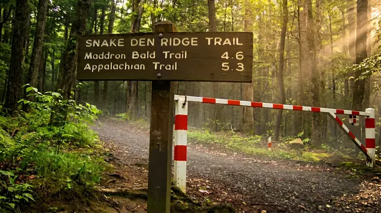
Maddron Bald Trail climbs about 7 miles from the Cosby area past Albright Grove's old-growth giants to Maddron Bald. Strenuous, with 3,500 feet of climbing.
Fontana Dam 4 entries
Fontana Dam, NC
Appalachian Trail from Fontana Dam to Shuckstack
The Appalachian Trail from Fontana Dam climbs into the park toward the Shuckstack fire tower. Strenuous but doable as a day hike, with views of Fontana Lake.
Fontana Dam, NC
Benton MacKaye Trail (BMAT) - Various Sections
The Benton MacKaye Trail is a 288-mile route through Georgia, Tennessee and North Carolina that reaches the Smokies. Its sections work well as day hikes or longer trips.
Fontana Dam, NC
Twentymile Loop Trail
Twentymile Loop Trail is a 2.8-mile connector in the park's quiet southwest corner, linking the Twentymile and Wolf Ridge trails. Pair it with the Twentymile Cascade walk.
Fontana Dam, NC
Wolf Ridge Trail
Wolf Ridge Trail climbs about 6.2 miles and 3,100 feet from Twentymile to the Gregory Bald Trail. A strenuous, quiet route in the park's southwest.
Waterville 4 entries

Waterville, NC
Big Creek Trail
Big Creek Trail follows an old railroad grade on the quiet NC side of the park. After Helene only the first two miles, to Mouse Creek Falls, are open.
Waterville, NC
Chestnut Branch Trail
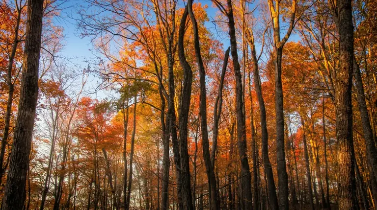
Chestnut Branch Trail climbs about 2 miles from the Big Creek area to the Appalachian Trail near Davenport Gap. A moderate climb in a quiet corner.
Waterville, NC
Mount Sterling Trail
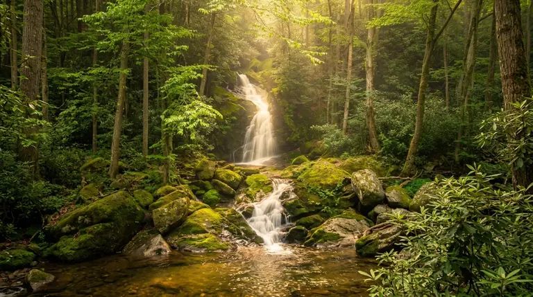
Mount Sterling Trail climbs 2.3 miles and about 1,700 feet to a fire tower with 360-degree views. Short but steep, on a rough access road.
Waterville, NC
Mouse Creek Falls Trail (Big Creek)
Mouse Creek Falls is a 4-mile round trip from Big Creek, past Midnight Hole, to a 45-foot waterfall. It is the end of the open trail after Helene.
Maggie Valley 3 entries
Maggie Valley, NC
Boogerman Trail (Cataloochee Valley)
Boogerman Trail winds through old-growth forest in Cataloochee Valley, but NPS says hiking it is not advised right now: Helene washed out a 55-foot foot log.
Maggie Valley, NC
Caldwell Fork Trail (Cataloochee Valley)
Caldwell Fork Trail in Cataloochee Valley is closed to all users because of Hurricane Helene damage. Check the NPS closures page before you plan a hike here.
Maggie Valley, NC
Little Cataloochee Trail
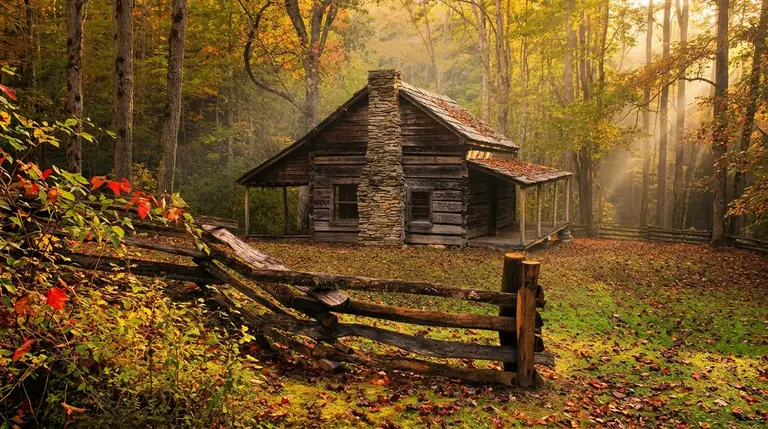
Little Cataloochee Trail runs about 5.3 miles through old settlement country in the Cataloochee area, passing the Little Cataloochee Baptist Church. Quiet and full of history.
Franklin 2 entries
Franklin, NC
Bartram Trail - Various Sections
The Bartram Trail runs more than 100 miles through the Nantahala National Forest and Georgia, passing Wayah Bald. Its sections make good day hikes outside the national park.
Franklin, NC
Wayah Bald Tower Trail
Wayah Bald Tower Trail is a half-mile climb to a stone observation tower near Franklin, NC, with wide views over the Nantahala and Smoky Mountains.
Benton 2 entries
Benton, TN
John Muir Trail (Hiwassee River)
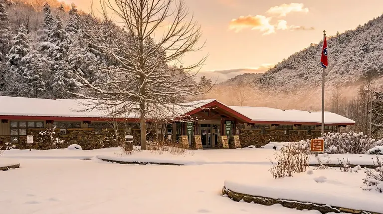
The John Muir Trail follows the Hiwassee River gorge in southeast Tennessee's Cherokee National Forest. Pick a section and confirm access with the Forest Service.
Benton, TN
Ocoee Whitewater Center Trails
The Ocoee Whitewater Center in the Cherokee National Forest has short trails beside the Olympic whitewater course, plus river views, rafting action and nearby bike trails.
Tellico Plains 1 entry
Ducktown 1 entry
Chimney Rock 1 entry
Walland 1 entry
Corryton 1 entry
Robbinsville 1 entry

Cashiers 1 entry
Where to stay
Near Smokies trailheads
Most trail staging is split between Gatlinburg-side cabins (for Alum Cave, Chimney Tops, Rainbow Falls), Townsend-side lodges (for Cades Cove trails), and Cherokee/Bryson City (for Deep Creek, Cataloochee, and the NC-side AT). Book close to the trailhead you want.
Map powered by Stay22, with live prices from booking sites. If you book through it, Mountain Insider may earn a commission at no extra cost to you. How we make money.