

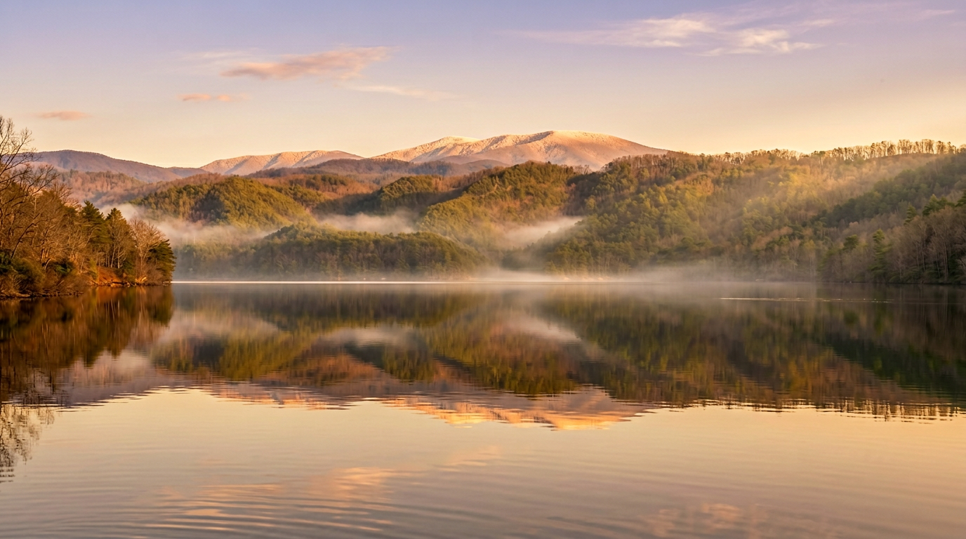
About Chilhowee Lake Overlook
The western end of the Foothills Parkway starts near US-129, in the lake country below Chilhowee Mountain. The pull-offs at that end show a different Smokies: not the big spine of the park, but the wooded, lower ridges and water that still reads as part of the foothills.
What is here
The lake country along the Little Tennessee River at the Parkway's western end gives the view a flat, bright plane of water that you don't get in the mountain overlooks higher up. In still morning air the surface can look like glass, with the forested ridge reflected on it. The ridge itself, Chilhowee Mountain, is the one the Parkway follows for much of its length, so you are standing on it rather than looking at it.
Using the stop
This end of the Parkway is lightly used, and the pull-offs are small. Plan on a short stop, then continue east to Look Rock, where the observation tower and picnic area make a better place to linger. The section from US-129 to Walland is about 17 miles and has few turnouts and no services, so bring water. A full drive along the western Parkway to Wears Valley takes about 90 minutes with stops.
- Best months: April and May for green-up, mid-October to early November for color on the slopes.
- Hazards: winter ice can close the Parkway; check the park conditions page.
- Water access: the lake itself is reached from other roads, not from this pull-off.
For more on the Parkway as a whole, see the NPS Foothills Parkway page. If you are starting in Maryville or Alcoa, this is the easiest park drive to reach from the west, and it will cost you a tank of gas and a couple of hours, not a day.
Good to know
- Do I need a parking tag?
- A Park It Forward parking tag ($5 a day, $15 a week or $40 a year) is required for any vehicle parked more than 15 minutes inside Great Smoky Mountains National Park. Entry is free, and federal passes such as America the Beautiful do not replace the tag.