

About Happy Valley Overlook
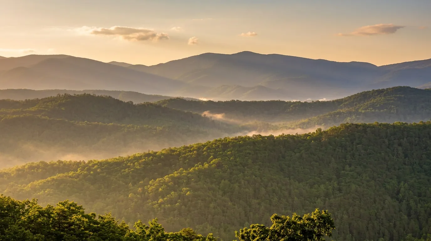
Happy Valley is a real place, a low valley of farms and woodlots between Chilhowee Mountain and the Smokies, and the Foothills Parkway pulls off above it. From the overlook the valley floor lies below like a quilt, with the park ridgeline in the distance.
What you see
Fields, fence lines and barns fill the valley, edged by woodlots and the lower slopes of the park. The ridge behind is the Smokies' western end, rolling away in blue layers. On a clear October morning, the cool air carries the view for miles, and fog often fills the valley before 9 a.m., giving you a view across the top of a white lake.
By late summer or on a hazy afternoon, the distance goes soft and you will see mostly the farmland. That is not a failure of the stop; it is a different, pastoral picture.
Visiting
The pull-off is small and unmarked beyond the Parkway's standard signs. Plan on ten minutes.
- Road: the Foothills Parkway West is a two-lane road, 45 mph, with sharp curves and few places to turn around.
- Facilities: none. Use restrooms in Walland or Townsend before you go.
- Season: open year-round, but ice and tree falls close it in winter; check the Foothills Parkway page.
- Traffic: light on weekdays; weekends bring cyclists and motorcycles.
Make a drive of it
The western Parkway is one of the least crowded ways to see the Smokies. Start at Walland, stop at the Happy Valley pull-off, continue to Look Rock for the tower, and finish in Townsend or Wears Valley. The whole run takes about two hours with stops. If you would rather see the park interior, the Cades Cove Loop is about 30 minutes from Townsend.
Good to know
- Do I need a parking tag?
- A Park It Forward parking tag ($5 a day, $15 a week or $40 a year) is required for any vehicle parked more than 15 minutes inside Great Smoky Mountains National Park. Entry is free, and federal passes such as America the Beautiful do not replace the tag.