About Balsam Mountain Trail
Balsam Mountain Trail is a long backcountry ridge route on the North Carolina side. It runs roughly 10 miles to the Appalachian Trail, gaining about 1,800 feet, mostly through high spruce-fir forest. The NPS closures page asks hikers to use extra caution: no significant storm damage was found from Heintooga to the Gunter Fork Trail junction, but the section from Gunter Fork to the AT has not been assessed, and the Gunter Fork Trail is closed.
The hike
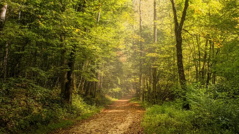
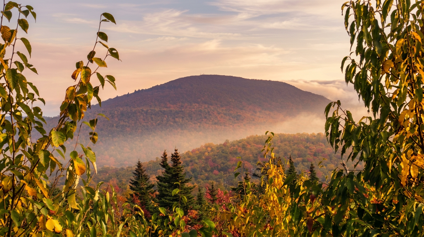
The route is mostly a quiet ridge walk, cool in summer, with few viewpoints. Because of the distance, most people hike a section or plan an overnight.
When to go
Summer and fall are the best; winter brings ice and snow.
Getting there
Balsam Mountain Road is seasonal. The nearby Heintooga Ridge Road is open May 15 to Oct. 31 in 2026. Plan on a parking tag ($5 daily, $15 weekly, $40 annual) if you will be parked longer than 15 minutes. Federal passes do not substitute for it, and a screenshot will not do; the tag must be displayed in the vehicle.
Know before you go
Pets are not allowed. Overnight stays need a backcountry permit. See the Balsam Mountain area page.
Pair it with
Other hikes in the same part of the park:
- Big Creek Trail: an easy walk to Midnight Hole and Mouse Creek Falls
- Mount Sterling Trail: a steep climb to a fire tower
- Little Cataloochee Trail: a quiet walk through old settlement sites
Planning and safety
Treat this as a full-day commitment. Steep mountain trail often takes closer to one mile per hour on the climbs, so build in extra time. Start early, set a firm turnaround time, carry a headlamp, and tell someone your plan before you lose cell service.
Cell service is spotty across much of the park, so download a map ahead of time and tell someone where you are headed. Stay on the trail, keep dogs and other pets on the few trails where they are allowed, and give wildlife plenty of room. Trail conditions are posted on the park's closures page.
Good to know
- How long is Balsam Mountain Trail?
- Balsam Mountain Trail is 9.9 miles one way, with about 1,800 feet of climbing. It is rated strenuous.
- Are dogs allowed on this trail?
- No. Inside Great Smoky Mountains National Park, dogs are allowed only on the Gatlinburg Trail and the Oconaluftee River Trail.
- Do I need a parking tag to hike here?
- A Park It Forward parking tag ($5 a day, $15 a week or $40 a year) is required for any vehicle parked more than 15 minutes inside Great Smoky Mountains National Park. Entry is free, and federal passes such as America the Beautiful do not replace the tag.