

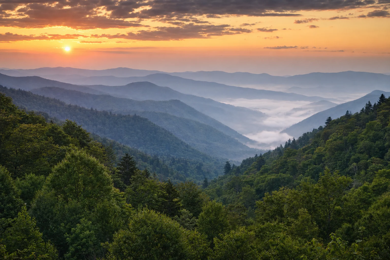
Asheville is about 85 miles from Gatlinburg by the route through Cherokee and over Newfound Gap, roughly 2 hours. The I-40 route is longer (closer to 100 miles) and, with the Pigeon River Gorge still limited to one lane each way, no longer the sure shortcut it once was. Either way a day trip works if you start early.
What is the best route from Asheville to the Smokies?
Two routes connect Asheville to the park, and Helene changed the math.
Through the park: take US-19 and US-74 west past Maggie Valley and Waynesville to Cherokee, then climb US-441 (Newfound Gap Road) to the 5,046-foot gap and drop into Gatlinburg. It is about 85 miles and 2 hours, and it is the scenic choice. Newfound Gap Road closes for ice, snow and wind with little notice, so check the Park Service's road status page the morning you leave.
On I-40: head west through the Pigeon River Gorge into Tennessee and exit toward Gatlinburg (by way of exit 407 and Pigeon Forge, or exit 432 at Newport and US-321). The gorge is still one lane each way at a reduced speed after Hurricane Helene, with a full rebuild targeted for late 2029. Allow extra time and check DriveNC.gov before you go.
If both are closed: I-26 West to Johnson City, then I-81 South and I-40 West by way of Knoxville, adds roughly an hour but runs on full interstate.
Avoid leaving Asheville on a Friday afternoon in summer or fall; the Parkway backs up from Sevierville through Pigeon Forge. Departing before 8 a.m. sidesteps most of it.
Is a day trip from Asheville to the Smokies realistic?
Yes, if you head for the Cherokee side. Leave Asheville by 7 a.m., spend the day around Oconaluftee and Newfound Gap, and you are home by evening. For Gatlinburg, Cades Cove or Cataloochee, spend a night: those areas are too far apart for one day. Two nights covers the Cades Cove loop on Saturday morning and Cataloochee Valley's elk at dusk on Sunday. A week handles Cherokee, Bryson City and the Tennessee gateway towns at an easy pace.
What to do when you arrive
For a first hike, Alum Cave Trail (4.4 miles round trip to Alum Cave Bluffs) is the best moderate hike on the Tennessee side. Grotto Falls (2.6 miles round trip from the trailhead on the Roaring Fork Motor Nature Trail) is the one waterfall where the trail walks behind the falls, and Abrams Falls (about 5 miles round trip from Cades Cove) ends at a wide, powerful drop into a deep pool.
One warning before you pick a waterfall: Laurel Falls Trail has been closed since January 2025 and is not expected to reopen until sometime in 2027. Pick another trail for now.
On the North Carolina side, the Museum of the Cherokee People in Cherokee is worth an hour, and elk often graze in the fields near the Oconaluftee Visitor Center.
Cades Cove Loop Road is 11 miles one way and opens at sunrise. On Wednesdays from early May through September (May 6 to Sept 30 in 2026) the loop is closed to cars all day and open to bicycles and walkers, which makes Wednesday the calm day to see the cove.
Kuwohi (the summit formerly called Clingmans Dome, 6,643 feet) is the park's high point. The 7-mile spur road is open April 1 to November 29 in 2026, weather permitting, and a steep half-mile paved walk leads to the observation tower.
The park has no entrance fee, but any vehicle parked longer than 15 minutes needs a parking tag: $5 for a day, $15 for a week, $40 for a year. The tag has to be displayed on the dashboard or windshield, it is tied to one license plate, and an America the Beautiful pass does not replace it. Daily and weekly tags can be bought ahead on recreation.gov (print them at home), and 24-hour machines at the bigger lots take credit cards.
Anakeesta, the ridgetop park above Gatlinburg, added an all-glass Crystal Express gondola in May 2026, and Ripley's Aquarium of the Smokies is the standby for rainy afternoons.
Where to stay
Gatlinburg is the most central option. Pigeon Forge has more inventory, especially large cabins at lower prices. Townsend suits early access to Cades Cove. Cherokee and Bryson City work well if you are focused on the North Carolina entrances and want to avoid the Gorge drive on the way back. Compare live availability on the map below.
When is the best time to make the trip?
From Asheville, the Cherokee side is the easy first trip in any season.
Spring (April and early May) brings wildflowers to the lower trails and strong waterfalls with lighter crowds than summer. The famous synchronous fireflies at Elkmont are a lottery: the 2026 viewing ran May 20 to 27, applications cost $1 and a selected reservation costs $29 for one vehicle with up to seven people, and the next lottery is expected the week of April 27, 2027.
Summer is green, hot in the valleys and cool on the ridges, and the busiest stretch for traffic on the Parkway. Trailhead lots fill by 9 a.m. on weekends, so start early.
Fall is the signature season. The Park Service says color starts above 4,000 feet in mid-September and peaks there in early to mid-October, while the lower valleys peak from mid-October into early November, and October is the busiest month of the year. Book lodging months ahead and plan to arrive on a weekday or at dawn.
Winter is quiet. Newfound Gap Road closes for snow and ice with little notice, the Kuwohi road and the Roaring Fork Motor Nature Trail close for the season after November 29 in 2026, and the lower trails stay open. Cherokee and Oconaluftee stay accessible even when the Tennessee side is jammed.