About Abrams Falls
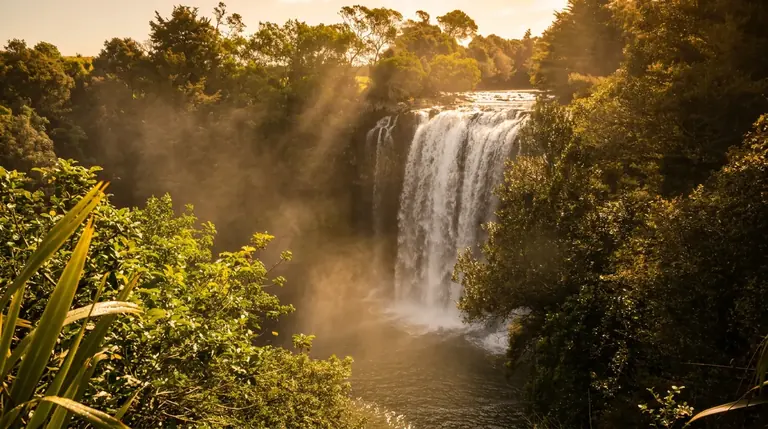
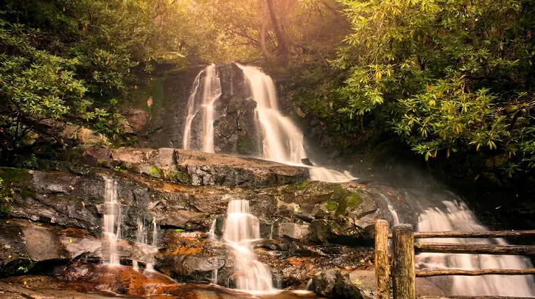
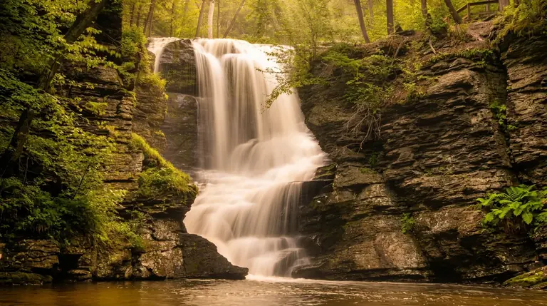
Abrams Falls is only 25 feet tall, but Abrams Creek pours over the sandstone ledge with so much water that it ranks among the most photographed falls in the Smokies. The payoff is a wide, loud curtain into a long green pool, reached by a 5-mile round-trip walk (2.5 miles each way) through rhododendron, hemlock and pine-oak forest.
Getting to the trailhead
The Abrams Falls Trailhead is near the far end of the one-way Cades Cove Loop Road, so you drive most of the loop before you park. Budget extra time in summer and in October, when traffic on the loop can crawl. The loop is open sunrise to sunset, and on vehicle-free Wednesdays (early May to late September) you need a bike or a long walk to reach it. Entry to the park is free, but any vehicle parked more than 15 minutes needs a parking tag ($5 daily, $15 weekly, $40 annual). Federal passes such as America the Beautiful do not replace it, and the tag must be displayed in your vehicle.
The hike
The trail is moderate: rooty and rocky, with a few footbridges and one steady climb over a ridge before it drops to the creek. Most hikers need three to four hours round trip with time at the falls. Park Service crews have been replacing aging footlog bridges here, so check the park closures page before you drive out.
At the falls
The pool below is deep and green, and boulders along the bank make a good picnic spot. Do not swim. The Park Service strongly discourages it because of a strong undertow and slick rock, and people have died in this pool. Otters have been reintroduced to the creek, so keep an eye on the water.
When to go
- Spring: Highest flow, plus wildflowers along the first mile.
- Summer: Start early; the cove warms up and the lot fills by mid-morning.
- Fall: Beautiful, but peak-color weekends mean a long wait to enter the loop.
- Winter: Fewer people, but ice can form near the falls.
Cell service is poor along the loop, so download a map before you go and carry water and a rain layer. Keep 50 yards from bears, which are common in the cove.
Good to know
- How tall is Abrams Falls?
- Abrams Falls drops about 25 feet.
- How far is the hike to Abrams Falls?
- It is about 2.5 miles each way, rated moderate.
- Can you swim or climb at the falls?
- Please don’t climb on or around waterfalls. Wet rock and algae are extremely slick, and falls from waterfalls are a leading cause of death in the Smokies. Enjoy the view from the trail.
- Do I need a parking tag?
- A Park It Forward parking tag ($5 a day, $15 a week or $40 a year) is required for any vehicle parked more than 15 minutes inside Great Smoky Mountains National Park. Entry is free, and federal passes such as America the Beautiful do not replace the tag.