About Laurel Falls
Laurel Falls Trail is closed. The Park Service shut the trail on January 6, 2025 for rehabilitation, and its closures page, updated October 15, 2026, says the park expects to reopen it sometime in 2027. Do not drive to the trailhead hoping to hike; the closure runs from the Fighting Creek Gap Road trailhead to the Little Greenbrier and Cove Mountain junction, and the Sugarland Mountain Trail is also closed from that trailhead to the Huskey Gap junction.
What it will be like
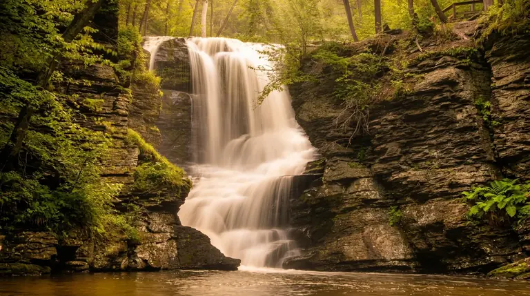
The falls cascade about 80 feet in two tiers over layered rock on Laurel Branch. The Park Service calls it one of the park's most beloved waterfalls, with more than 300,000 visitors a year. Before the closure the paved 2.6-mile round trip was the busiest short hike in the Smokies. The rehabilitation, with the delay attributed to a geotechnical redesign of the lower viewing area, is planned to repave and widen the path, add viewing platforms and signs, and add about 50 more parking spaces.
Where to go instead
- Grotto Falls: 2.6 miles round trip behind a 25-foot waterfall; the nearest match for a family-friendly outing.
- Rainbow Falls: 5.6 miles round trip to an 80-foot drop; steeper.
- Hen Wallow Falls: 4.3 miles round trip in the quiet Cosby section.
- Lynn Camp Prong Cascades: 1.4 miles round trip on a railroad bed in Tremont.
- The Little River, Cucumber Gap, Jakes Creek loop: Another NPS-suggested alternative from Elkmont.
When it reopens
Plan on a parking tag, which the Park Service requires for any vehicle parked more than 15 minutes. Federal passes do not replace it. Check the closures page before any trip, because reopening dates can slip with construction.
Good to know
- How tall is Laurel Falls?
- Laurel Falls drops about 80 feet.
- How far is the hike to Laurel Falls?
- It is about 1.3 miles each way, rated easy.
- Can you swim or climb at the falls?
- Please don’t climb on or around waterfalls. Wet rock and algae are extremely slick, and falls from waterfalls are a leading cause of death in the Smokies. Enjoy the view from the trail.
- Do I need a parking tag?
- A Park It Forward parking tag ($5 a day, $15 a week or $40 a year) is required for any vehicle parked more than 15 minutes inside Great Smoky Mountains National Park. Entry is free, and federal passes such as America the Beautiful do not replace the tag.