

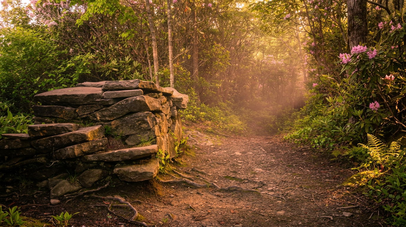
About Bullhead Trail to Mount LeConte
Bullhead Trail is the long way up Mount LeConte, and that is its appeal for hikers who want views and fewer people than the Alum Cave route. The National Park Service lists the hike at 13.6 miles round trip (6.8 each way) and rates it strenuous, with roughly 3,800 feet of climbing from the Rainbow Falls/Bullhead trailhead.
Current closure
As of this fall, the park is rehabilitating the trail with Friends of the Smokies. Bullhead Trail is closed Monday through Thursday each week, excluding federal holidays, through Nov. 19, 2026, and open Friday through Sunday. Check the NPS closures page before you plan around it.
The hike
The trail starts in forest above Gatlinburg, then climbs the Bullhead, a heath-covered bald with rocky cliffs and some of the most consistent views of any route to LeConte. Higher up it joins the Trillium Gap and Rainbow Falls routes near the lodge. Most people do this as an overnight at LeConte Lodge; as a day hike it is a long, hard push that most fit hikers finish in 8 to 10 hours.
When to go
Fall color and clear winter days are the best views, but winter ice above 5,000 feet needs traction. Summer afternoon storms are common on the ridge. Start early in any season so you are off the summit with daylight to spare.
Getting there
From downtown Gatlinburg, follow Airport Road to Cherokee Orchard Road and drive to the Rainbow Falls/Bullhead parking lot, which is small and fills early. On the first stretch of Cherokee Orchard Road, from the park boundary to the Ogle Homesite, NPS currently closes the road to pedestrians and asks drivers to stay in their vehicles because of bears.
The park charges for parking rather than entry: a parking tag is $5 a day, $15 a week or $40 a year, required for any vehicle parked more than 15 minutes. America the Beautiful and other federal passes are not accepted.
Know before you go
Carry food, water, a headlamp and a warm layer; summit weather can differ a lot from town. Pets are not allowed. Download a map ahead of time since cell service is spotty.
Pair it with
Other hikes in the same part of the park:
- Gatlinburg Trail: an easy 4-mile round trip that allows dogs and bikes
- Grotto Falls: a 2.6-mile round trip to a waterfall you can walk behind
- Rainbow Falls: a 5.6-mile round trip to an 80-foot waterfall
Planning and safety
Plan on a long day and pack accordingly: more water than seems reasonable, real food, a warm layer, a rain shell and a headlamp. Start at first light if you can, and turn around if the weather or your energy changes.
Cell service is spotty across much of the park, so download a map ahead of time and tell someone where you are headed. Stay on the trail, keep dogs and other pets on the few trails where they are allowed, and give wildlife plenty of room. Trail conditions are posted on the park's closures page.
Good to know
- How long is Bullhead Trail to Mount LeConte?
- Bullhead Trail to Mount LeConte is 6.8 miles one way (13.6 miles round trip), with about 3,800 feet of climbing. It is rated strenuous.
- Are dogs allowed on this trail?
- No. Inside Great Smoky Mountains National Park, dogs are allowed only on the Gatlinburg Trail and the Oconaluftee River Trail.
- Do I need a parking tag to hike here?
- A Park It Forward parking tag ($5 a day, $15 a week or $40 a year) is required for any vehicle parked more than 15 minutes inside Great Smoky Mountains National Park. Entry is free, and federal passes such as America the Beautiful do not replace the tag.


