

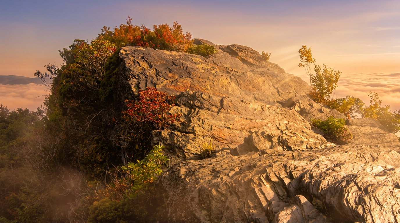
About Chimney Tops Trail
Chimney Tops is one of the most popular hikes on Newfound Gap Road, and it is steeper than it looks on a map. The National Park Service lists the hike at 3.5 miles round trip to the overlook, with roughly 1,300 feet of climbing, many stairs and rocky stretches. The final scramble to the summit pinnacle has been closed since the 2016 wildfire, so the view from the overlook platform is the goal.
The hike
The trail starts beside Road Prong, crosses it on bridges, and climbs through rhododendron tunnels and hardwoods. The grade steepens as the creek falls behind, with stone steps and short, tiring pitches near the top. At the overlook you look across to the rocky Chimney Tops pinnacles and the burned slopes that are now regrowing. Do not climb beyond the overlook; the closure is enforced.
When to go
Fall brings color and the biggest crowds, with the lot full by 8 a.m. on weekends. Spring offers wildflowers and fewer people, and winter gives clear views if you have traction for icy steps. Hot summer afternoons are tough on the climb, so go early.
Getting there
The trailhead is on Newfound Gap Road about 7 miles south of Sugarlands Visitor Center. Parking is tight; NPS suggests arriving early or taking a shuttle.
Entry to the park is free, but a parking tag is required if you park more than 15 minutes: $5 a day, $15 a week or $40 a year. America the Beautiful and other federal passes do not count, and the tag has to be displayed in the vehicle.
Know before you go
Bring water and sturdy shoes. The trail is steep, rocky and wet in places, and pets are not allowed. Always check conditions before you go, since road and trail closures change.
Pair it with
Other hikes in the same part of the park:
- Gatlinburg Trail: an easy 4-mile round trip that allows dogs and bikes
- Grotto Falls: a 2.6-mile round trip to a waterfall you can walk behind
- Rainbow Falls: a 5.6-mile round trip to an 80-foot waterfall
Planning and safety
Plan on a long day and pack accordingly: more water than seems reasonable, real food, a warm layer, a rain shell and a headlamp. Start at first light if you can, and turn around if the weather or your energy changes.
Cell service is spotty across much of the park, so download a map ahead of time and tell someone where you are headed. Stay on the trail, keep dogs and other pets on the few trails where they are allowed, and give wildlife plenty of room. Trail conditions are posted on the park's closures page.
Good to know
- How long is Chimney Tops Trail?
- Chimney Tops Trail is 1.75 miles one way (3.5 miles round trip), with about 1,300 feet of climbing. It is rated strenuous.
- Are dogs allowed on this trail?
- No. Inside Great Smoky Mountains National Park, dogs are allowed only on the Gatlinburg Trail and the Oconaluftee River Trail.
- Do I need a parking tag to hike here?
- A Park It Forward parking tag ($5 a day, $15 a week or $40 a year) is required for any vehicle parked more than 15 minutes inside Great Smoky Mountains National Park. Entry is free, and federal passes such as America the Beautiful do not replace the tag.


