

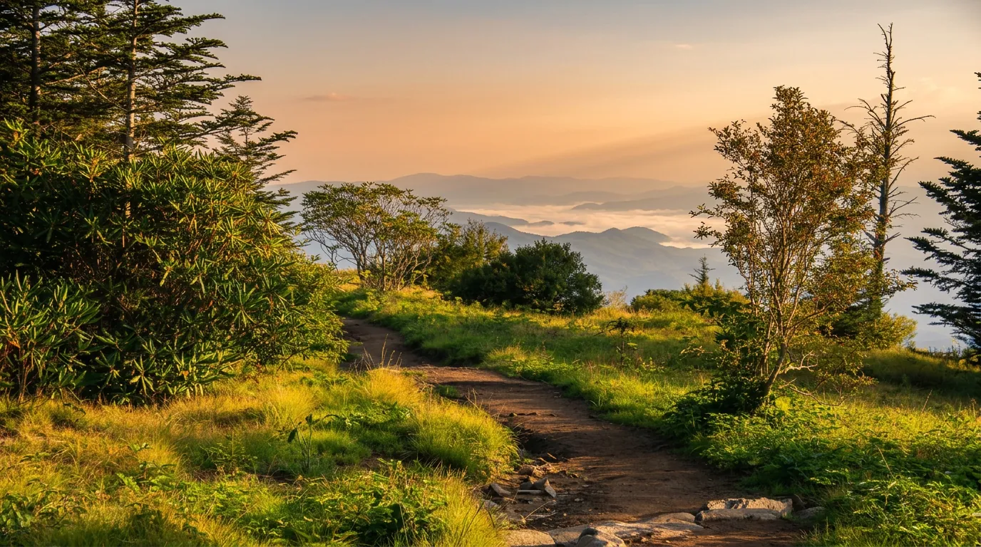
About Forney Ridge Trail
Forney Ridge Trail begins at the Forney Ridge trailhead at the end of Kuwohi Road and runs about 5.3 miles, mostly downhill. The best-known stop is Andrews Bald, about 1.8 miles in; beyond that the trail continues into the backcountry toward Fontana Lake.
The hike
The first mile is spruce-fir forest, cool and mossy. After the bald, the trail drops steeply through the high-elevation forest. Because the route descends, the return trip is uphill. Most day hikers stop at the bald.
When to go
Late May to mid-June has the bloom; fall color peaks in early to mid-October. Kuwohi Road is seasonal, open April 1 to Nov. 29 in 2026.
Getting there
The lot is at the end of Kuwohi Road. You need a parking tag for any stop over 15 minutes in the park. It costs $5 a day, $15 a week or $40 a year, and federal passes such as America the Beautiful are not accepted. Buy it at a visitor center or on recreation.gov, and display the physical tag.
Know before you go
Pets are not allowed. Carry rain gear and layers, since the weather changes quickly.
Pair it with
Other hikes in the same part of the park:
- Andrews Bald: a 3.6-mile round trip to a grassy bald
- the Kuwohi tower walk: a steep paved mile round trip
- Charlies Bunion: an 8-mile round trip on the Appalachian Trail
Planning and safety
Give yourself more time than the mileage suggests. Rocks, roots, stream crossings and short climbs all slow the pace, and most people stop often. An early start gives you the quietest trail and the best chance at a parking space.
Cell service is spotty across much of the park, so download a map ahead of time and tell someone where you are headed. Stay on the trail, keep dogs and other pets on the few trails where they are allowed, and give wildlife plenty of room. Trail conditions are posted on the park's closures page.
Good to know
- How long is Forney Ridge Trail?
- Forney Ridge Trail is 5.3 miles one way. It is rated moderate.
- Are dogs allowed on this trail?
- No. Inside Great Smoky Mountains National Park, dogs are allowed only on the Gatlinburg Trail and the Oconaluftee River Trail.
- Do I need a parking tag to hike here?
- A Park It Forward parking tag ($5 a day, $15 a week or $40 a year) is required for any vehicle parked more than 15 minutes inside Great Smoky Mountains National Park. Entry is free, and federal passes such as America the Beautiful do not replace the tag.


