About Kephart Prong Trail
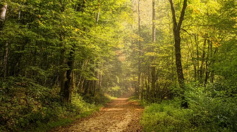
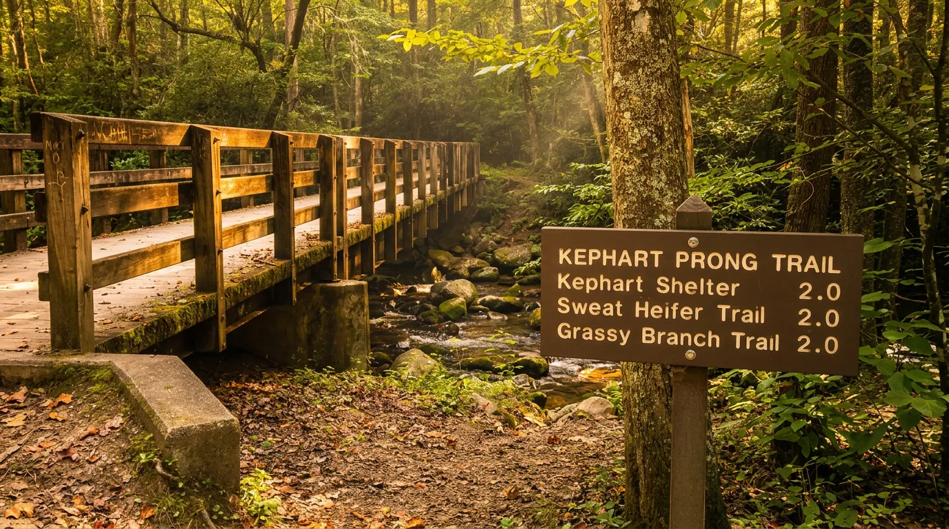
Kephart Prong is a good hike for history lovers on the Cherokee side of the park. The National Park Service describes a 4-mile round trip along streams through hardwood forest, crossing several footbridges to the remains of a Civilian Conservation Corps camp and the Kephart Shelter. The route climbs about 800 feet.
The hike
The trail starts at a small pullout on Newfound Gap Road and follows Kephart Prong upstream. The CCC camp ruins show stone foundations and a fireplace from the 1930s work camp. The shelter, named for naturalist Horace Kephart, is a good turnaround. The trail also continues up to the Sweat Heifer Creek Trail and the high country.
When to go
Spring wildflowers and fall color are the best times. Summer is shady but the trail is damp and buggy.
Getting there
The trailhead is on US-441 about 8 miles north of the Oconaluftee Visitor Center, with limited parking (NPS suggests considering a shuttle). The park charges for parking rather than entry: a parking tag is $5 a day, $15 a week or $40 a year, required for any vehicle parked more than 15 minutes. America the Beautiful and other federal passes are not accepted.
Know before you go
Pets are not allowed. Bring water, and be ready for muddy stretches after rain. See the Oconaluftee area page for details.
Pair it with
Other hikes in the same part of the park:
- Oconaluftee River Trail: an easy riverside walk that allows dogs
- Chasteen Creek Cascade: a 3.6-mile round trip
- the Deep Creek Waterfalls Loop: a 2.4-mile loop past three waterfalls
Planning and safety
Give yourself more time than the mileage suggests. Rocks, roots, stream crossings and short climbs all slow the pace, and most people stop often. An early start gives you the quietest trail and the best chance at a parking space.
Check conditions the morning you go. The park posts trail and road closures and cautions, and storms, ice and Hurricane Helene repairs can change access with little notice. Carry water, a rain layer and a map, keep a safe distance from bears and elk, and pack out everything you bring in.
Good to know
- How long is Kephart Prong Trail?
- Kephart Prong Trail is 2 miles one way (4.0 miles round trip), with about 800 feet of climbing. It is rated moderate.
- Are dogs allowed on this trail?
- No. Inside Great Smoky Mountains National Park, dogs are allowed only on the Gatlinburg Trail and the Oconaluftee River Trail.
- Do I need a parking tag to hike here?
- A Park It Forward parking tag ($5 a day, $15 a week or $40 a year) is required for any vehicle parked more than 15 minutes inside Great Smoky Mountains National Park. Entry is free, and federal passes such as America the Beautiful do not replace the tag.