

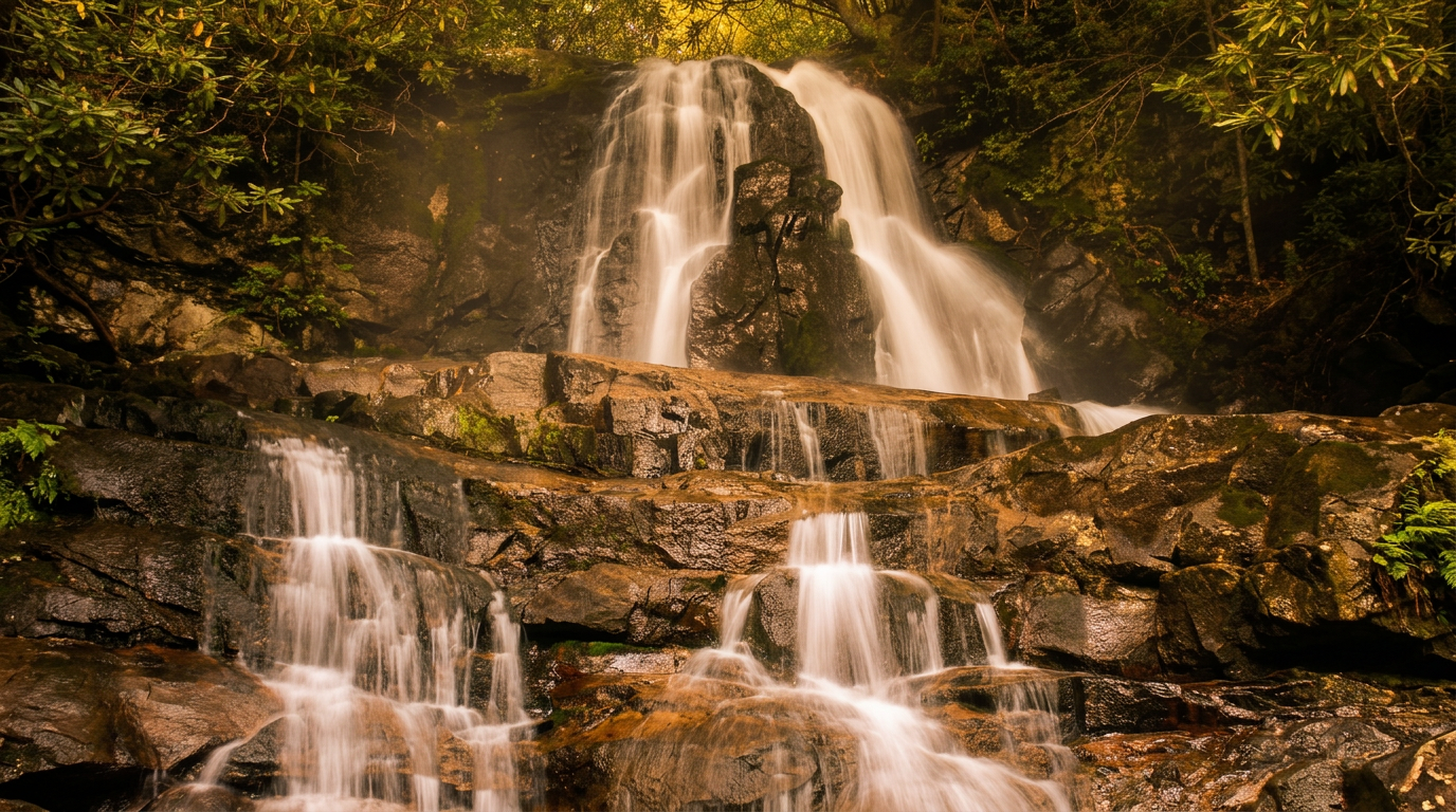
About Laurel Falls Trail
Laurel Falls Trail is closed. The National Park Service shut the trail on January 6, 2025, for rehabilitation, and its closures page says the park anticipates reopening "sometime in 2027." Crews found different geotechnical conditions than expected while building the lower viewing platform, which forced design changes. Do not drive to the trailhead planning to hike it this year.
What is being changed
Laurel Falls has been the most popular waterfall hike in the park for decades: a paved 2.6-mile round trip to an 80-foot waterfall, with a trailhead on Fighting Creek Gap Road off Little River Road. The project repaves and widens the path, adds two viewing platforms and new signs, and adds roughly 50 parking spaces. The closure runs from the trailhead to the junction with the Little Greenbrier and Cove Mountain trails. The Sugarland Mountain Trail is also closed from the same trailhead up to the Huskey Gap Trail junction.
Do this instead
NPS suggests other waterfalls, and these are good ones.
- Grotto Falls: 2.6 miles round trip, and you can walk behind it.
- Rainbow Falls: 5.6 miles round trip with a bigger climb and a tall drop.
- Abrams Falls: 5 miles round trip from Cades Cove.
- Hen Wallow Falls: 4.3 miles round trip near Cosby, with fewer people.
- Lynn Camp Prong Cascades: an easy 1.4-mile round trip in Tremont.
Before you plan a 2027 visit
Reopening depends on construction, so check the NPS page again before any trip. When it does return, expect the same crowds the trail has always drawn, along with a new parking arrangement. The park charges for parking rather than entry: a parking tag is $5 a day, $15 a week or $40 a year, required for any vehicle parked more than 15 minutes. America the Beautiful and other federal passes are not accepted.
Pair it with
Other hikes in the same part of the park:
- Gatlinburg Trail: an easy 4-mile round trip that allows dogs and bikes
- Grotto Falls: a 2.6-mile round trip to a waterfall you can walk behind
- Rainbow Falls: a 5.6-mile round trip to an 80-foot waterfall
Planning and safety
This is an easy outing, so it works for an hour or a whole afternoon. Keep the pace relaxed, bring a snack, and plan a nearby stop to make a half-day of it. Weekday mornings are the quietest, and the light is softest early and late.
Cell service is spotty across much of the park, so download a map ahead of time and tell someone where you are headed. Stay on the trail, keep dogs and other pets on the few trails where they are allowed, and give wildlife plenty of room. Trail conditions are posted on the park's closures page.
Good to know
- How long is Laurel Falls Trail?
- Laurel Falls Trail is 1.3 miles one way (2.6 miles round trip), with about 300 feet of climbing. It is rated easy.
- Are dogs allowed on this trail?
- No. Inside Great Smoky Mountains National Park, dogs are allowed only on the Gatlinburg Trail and the Oconaluftee River Trail.
- Do I need a parking tag to hike here?
- A Park It Forward parking tag ($5 a day, $15 a week or $40 a year) is required for any vehicle parked more than 15 minutes inside Great Smoky Mountains National Park. Entry is free, and federal passes such as America the Beautiful do not replace the tag.


