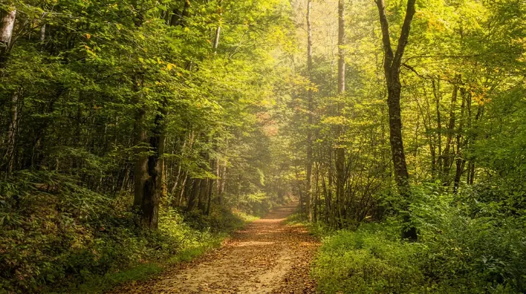
About Mingo Falls Trail (Qualla Boundary / EBCI Lands)
Mingo Falls is one of the most rewarding short hikes near Cherokee, and it is on the tribal land of the Eastern Band of Cherokee Indians (the Qualla Boundary), outside Great Smoky Mountains National Park. The falls drop roughly 120 feet in a narrow cascade, reached by a short, steep trail with a long run of steps.
The hike
The walk is under a mile round trip, but it is steeper than it looks. A wide staircase climbs from the parking area to a bridge in front of the falls. Take your time and use the handrails; the steps can be slick after rain. The falls are strongest in spring and after heavy rain.
When to go
Spring and early summer have the best flow. Fall brings color. Winter can ice the steps.
Getting there
Mingo Falls is on Big Cove Road about 5 miles north of Cherokee, NC. Because this is tribal land, a national park parking tag is not needed here. The lot is small; go early.
Know before you go
Wear shoes with grip and bring water. Check Visit Cherokee for current conditions and any tribal rules.
Visiting the national park too?
If you are also spending time in Great Smoky Mountains National Park, these hikes are good companions:
- Grotto Falls: a 2.6-mile round trip to a waterfall you can walk behind
- Oconaluftee River Trail: an easy riverside walk near Cherokee
- Big Creek Trail: a quiet walk to Midnight Hole and Mouse Creek Falls
Planning and safety
Allow about two miles per hour on rolling mountain trail, then add time for photos, snacks and rest. Start by mid-morning at the latest so you finish with daylight, and decide on a turnaround time before you leave the car.
Land outside the national park is managed separately, so check the land manager's page for closures, fees and seasonal road access before you drive. Carry a map, since cell service is limited, and bring water, rain gear and a charged phone.
Good to know
- How long is Mingo Falls Trail (Qualla Boundary / EBCI Lands)?
- Mingo Falls Trail (Qualla Boundary / EBCI Lands) is 0.4 miles one way (0.8 miles round trip), with about 150 feet of climbing. It is rated moderate.