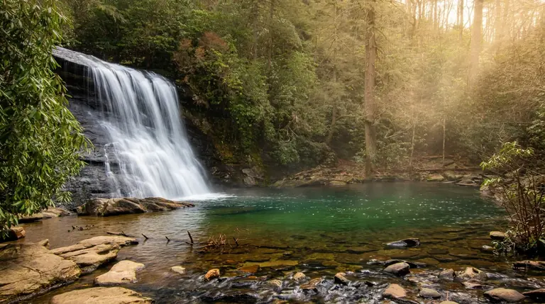
About Panthertown Valley Trails (Nantahala National Forest)
Panthertown Valley is a backcountry area in the Nantahala National Forest, near Cashiers, North Carolina, with granite domes, cliffs, waterfalls and a network of trails of more than 30 miles. It is often called the Yosemite of the East. It lies well south of Great Smoky Mountains National Park.
The hike
Panthertown has several trailheads. A popular one is Cold Mountain Gap, which leads into the valley. Trails range from easy valley walks to climbs onto granite domes, and many cross streams. Trail signs are limited, so carry a map. The Friends of Panthertown site is a good source for trail maps and conditions.
When to go
Spring through fall. Summer is warm, and the rock can be slippery after rain.
Getting there
Cold Mountain Gap is reached from NC-107 and Cold Mountain Road near Cashiers. A national park parking tag is not needed here.
Know before you go
Bring a map, water and rain gear. Cell service is limited.
Visiting the national park too?
If you are also spending time in Great Smoky Mountains National Park, these hikes are good companions:
- Grotto Falls: a 2.6-mile round trip to a waterfall you can walk behind
- Oconaluftee River Trail: an easy riverside walk near Cherokee
- Big Creek Trail: a quiet walk to Midnight Hole and Mouse Creek Falls
Planning and safety
Allow about two miles per hour on rolling mountain trail, then add time for photos, snacks and rest. Start by mid-morning at the latest so you finish with daylight, and decide on a turnaround time before you leave the car.
Conditions can change quickly in the mountains, and forest and state-land roads are often narrow or unpaved. Confirm access and any fees with the land manager, tell someone your plan, and carry enough water and layers for the day.