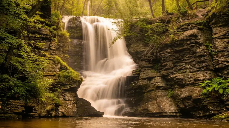
About Gatlinburg Trail Cascades
The Gatlinburg Trail is a river walk, not a waterfall hike. It follows the West Prong of the Little Pigeon River for roughly 2 miles between the Sugarlands Visitor Center and Gatlinburg, passing low ledges and shallow cascades only a few feet high. The Park Service describes the full trip as about 4 miles round trip.
What you will see
Expect a rushing river, mossy boulders, historic stone chimneys and a cove hardwood forest. Near the visitor center the route includes stretches of sidewalk and roadside; after the North District Maintenance Center it becomes a wide, graded dirt path with a couple of steeper sections. It is gentle and good for casual walkers, but it is not a trail to a big payoff.
Dogs and bikes
This is one of two park trails (the other is the Oconaluftee River Trail) where leashed dogs and bicycles are allowed, which makes it popular with locals. Keep your dog leashed (6-foot maximum) and stay on the trail. The Park Service notes the trail is not ADA accessible.
Getting there
Start at the Sugarlands Visitor Center, about 2 miles south of downtown Gatlinburg on Newfound Gap Road, or at the Gatlinburg end near the park entrance. Entry to the park is free, but any vehicle parked more than 15 minutes needs a parking tag ($5 daily, $15 weekly, $40 annual). Federal passes such as America the Beautiful do not replace it, and the tag must be displayed in your vehicle.
When to go
- Spring: The river is high and the wildflowers are out.
- Summer: Shade and cool river air.
- Fall: Good color and fewer crowds than the popular trailheads.
- Winter: Often a good walk, but shaded sections can ice.
For real waterfalls nearby
Cataract Falls is a 0.7-mile round trip from the same visitor center, and Rainbow Falls and Grotto Falls are a short drive up Cherokee Orchard Road. Use this trail for a quiet riverside stroll.
Good to know
- How far is the hike to Gatlinburg Trail Cascades?
- It is about 1.9 miles each way, rated easy.
- Can you swim or climb at the falls?
- Please don’t climb on or around waterfalls. Wet rock and algae are extremely slick, and falls from waterfalls are a leading cause of death in the Smokies. Enjoy the view from the trail.
- Do I need a parking tag?
- A Park It Forward parking tag ($5 a day, $15 a week or $40 a year) is required for any vehicle parked more than 15 minutes inside Great Smoky Mountains National Park. Entry is free, and federal passes such as America the Beautiful do not replace the tag.