About Soco Falls
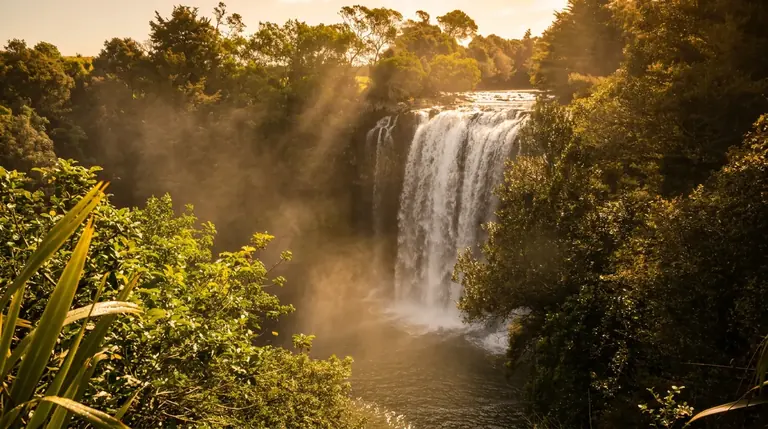
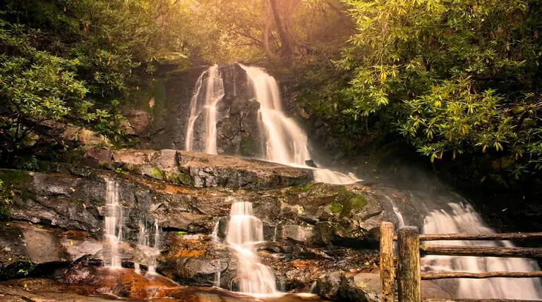
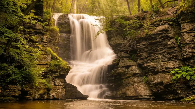
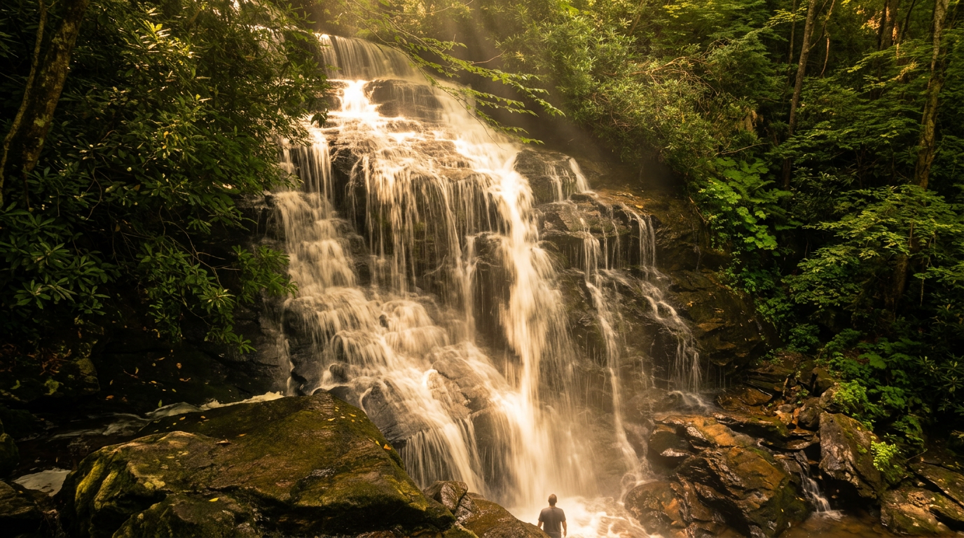
Soco Falls is a double waterfall where Soco Creek and Brush Creek converge and drop into a shared pool. It is on US-19 between Maggie Valley and Cherokee, North Carolina, on land owned by the Eastern Band of Cherokee Indians, and it is not inside Great Smoky Mountains National Park. No park parking tag is needed.
How big is it?
Sources disagree. Cherokee tourism lists the larger fall at roughly 120 feet, while one hiker who measured it with a rangefinder got about 50 feet. Either way, you see two separate falls in one frame from the viewing platform, and the combined effect is the draw.
The walk
The trail is about 0.2 miles from the trailhead kiosk, easy but with one steep section. The Eastern Band built a new parking lot in 2025, set back from the highway with picnic tables, benches, portable toilets and an information kiosk, and fenced off the old roadside pull-off, which was a dangerous spot on a sharp curve. Stay on the trail to the viewing platform; the steeper path to the base is not maintained and has been reported closed.
Getting there
The lot is on US-19 about 11 miles east of Cherokee toward Maggie Valley, roughly 1 to 1.5 miles from the Blue Ridge Parkway at Soco Gap. From Gatlinburg, plan about an hour and a half via Newfound Gap Road. Visit Cherokee lists the falls with other area waterfalls.
When to go
- Spring: Strong water and mist rainbows on sunny days.
- Summer: Shaded and cool.
- Fall: Pleasant color around the falls.
- Winter: Slippery and potentially icy.
Know before you go
Wet rock and a steep path make this harder than the short distance suggests. Wear shoes with grip, do not climb on the rocks, and watch traffic if you stop on US-19.
Good to know
- How far is the hike to Soco Falls?
- It is about 0.2 miles each way, rated easy.
- Can you swim or climb at the falls?
- Please don’t climb on or around waterfalls. Wet rock and algae are extremely slick, and falls from waterfalls are a leading cause of death in the Smokies. Enjoy the view from the trail.