About Benton Falls
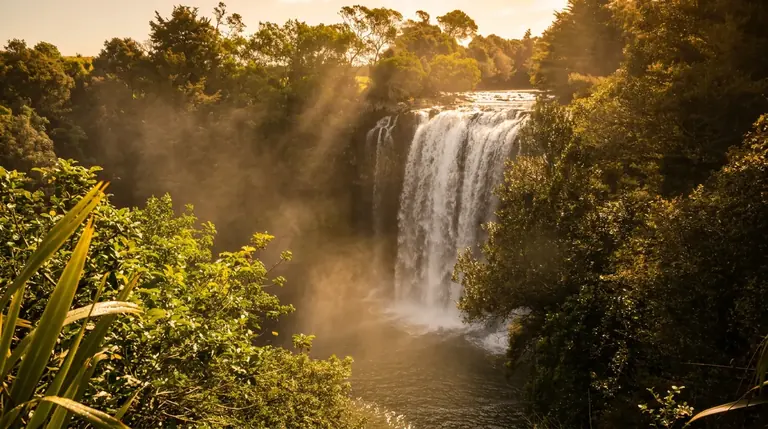
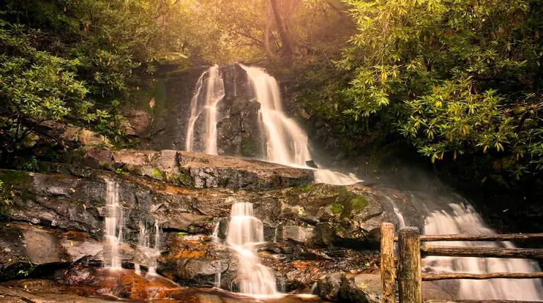
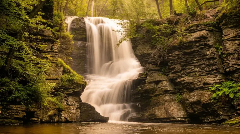
Benton Falls spreads about 65 feet down a broad, layered rock face in Cherokee National Forest. It is near Benton, Tennessee, in the Ocoee River area, not in Great Smoky Mountains National Park, so plan it as its own day trip rather than a stop on a Smokies loop.
The hike
The Benton Falls Trail leaves from the Chilhowee Recreation Area and runs roughly 1.7 miles each way on a moderate, rooty path beside the creek, about 3.4 miles round trip. Expect wet rock and some mud near the end, and allow an hour or so each way. The recreation area itself has about 25 miles of hiking and biking trails, so you can add miles if the falls leave you wanting more.
Getting there and fees
Chilhowee Recreation Area is reached from US-64/US-411 by Forest Road 77. Follow the Forest Service directions, not GPS, which can send you up a rough road. The day-use fee is $3 per vehicle. The national park's parking tag is not used here. The campground is usually open from early April to late October, and the day-use areas stay open year-round.
When to go
- Spring: The most water; wildflowers along the creek.
- Summer: Shaded trail, but the falls can thin.
- Fall: Cooler hiking and good color, with lower flow.
- Winter: Ice builds near the falls, so carry traction.
Know before you go
Leashed dogs are allowed on Cherokee National Forest trails. Cell service is poor on the trail, so download a map, and carry a rain layer because Ocoee-area storms build quickly. The Ocoee River whitewater corridor is nearby if you want to make a day of it.
Good to know
- How tall is Benton Falls?
- Benton Falls drops about 65 feet.
- How far is the hike to Benton Falls?
- It is about 1.7 miles each way, rated moderate.
- Can you swim or climb at the falls?
- Please don’t climb on or around waterfalls. Wet rock and algae are extremely slick, and falls from waterfalls are a leading cause of death in the Smokies. Enjoy the view from the trail.