

Trail guide
Best Easy Hikes in the Smokies
15 curated picks · updated
The best easy hikes in the Smokies are short, low-gain walks: Mingo Falls (a 120-foot waterfall at the end of a 0.15-mile walk), the paved Sugarlands Valley Nature Trail, the 2.4-mile Deep Creek Loop past three falls, and the flat Gatlinburg and Oconaluftee River trails. Inside the park you need a parking tag, and Laurel Falls Trail is closed until 2027.
Easy hikes in the Smokies have a credibility problem. The label gets applied to anything under 4 miles, so a first-time hiker can end up halfway up a ridge on a trail that was "easy" by someone else's standards. The 13 trails on this list are approachable: short distances, modest elevation gain, and surfaces that don't require hiking poles or technical footwear.
A few practical things to know before you go:
- A parking tag is required inside the park. Any vehicle parked more than 15 minutes needs one ($5 a day, $15 a week or $40 a year), displayed on the dashboard and tied to your license plate. Buy it at a visitor center, from a lot kiosk or on recreation.gov, as the Park Service fee page explains. America the Beautiful and other federal passes are not accepted, and no trail on this list needs a timed-entry reservation.
- Two trails here allow dogs and bikes: the Oconaluftee River Trail and the Gatlinburg Trail. This is a notable exception; GSMNP prohibits both on all other hiking trails, including the fully paved Sugarlands Valley Nature Trail.
- Not all 13 are inside the national park. Mingo Falls is on Eastern Band of Cherokee Indian (EBCI) lands within the Qualla Boundary; Chimney Rock is a North Carolina state park with its own admission fee; Joyce Kilmer Memorial Forest and Wayah Bald are both in the Nantahala National Forest, with free parking and no reservation system.
Summer weekends at trailheads like Deep Creek bring substantial crowds. Laurel Falls Trail, long the park's most popular easy walk, has been closed since January 2025 for a rebuild, and the Park Service expects it to reopen in 2027, so check the closures page before you plan around it. Arriving before 9am or after 4pm consistently improves the experience. Spring wildflowers peak roughly mid-March through early May at lower elevations, with the Cove Hardwood Nature Trail a particular standout. Fall color at the elevations covered here, mostly below 4,000 feet, usually peaks from mid-October into early November.
The list runs shortest to longest, which is useful when working around a specific time window or hiking with young children. Distance alone doesn't tell the whole story: Mingo Falls packs a 120-foot waterfall into a 0.3-mile round trip, while the Deep Creek Loop links three separate falls across 2.4 miles of gentle bottomland. Each listing notes the feature that makes the trip worth it.
Plan the rest of the trip with the hiking hub, the parking tag explainer, the fall color timing guide, Smokies itineraries and the events calendar.
- 1
Cataract Falls Trail
0.25 mi · easy · 50 ft gain
Cataract Falls is a short, easy walk of a quarter mile from Sugarlands Visitor Center to a small waterfall. A quick stop for families near Gatlinburg.
- 2
Cove Hardwood Nature Trail
0.4 mi · easy
Cove Hardwood Nature Trail is a short three-quarter-mile walk through old-growth forest off Newfound Gap Road. Easy, shady and quiet, with giant trees and spring flowers.
- 3
Sugarlands Valley Nature Trail
0.5 mi · easy
Sugarlands Valley Nature Trail is a paved, flat half-mile loop through cove hardwood forest with stone chimneys. Good for kids and anyone who wants an easy stroll.
- 4
Wayah Bald Tower Trail
0.5 mi · easy
Wayah Bald Tower Trail is a half-mile climb to a stone observation tower near Franklin, NC, with wide views over the Nantahala and Smoky Mountains.
- 5
Cosby Nature Trail
0.6 mi · easy
Cosby Nature Trail is an easy half-mile loop near Cosby Campground. A gentle forest walk on the quiet northeast side of the park, good for kids and a short stretch.
- 6
Cades Cove Nature Trail
0.8 mi · easy
Cades Cove Nature Trail is an easy loop of about 0.8 miles off the Cades Cove Loop Road. A short forest stroll for kids and anyone who wants a break from the car.
- 7
Foothills Parkway Trails (various sections, e.g., Look Rock)
0.8 mi · easy
Look Rock Tower Trail is a short paved walk on the Foothills Parkway to an observation tower with big views of the Smokies and Blount County.
-
 8
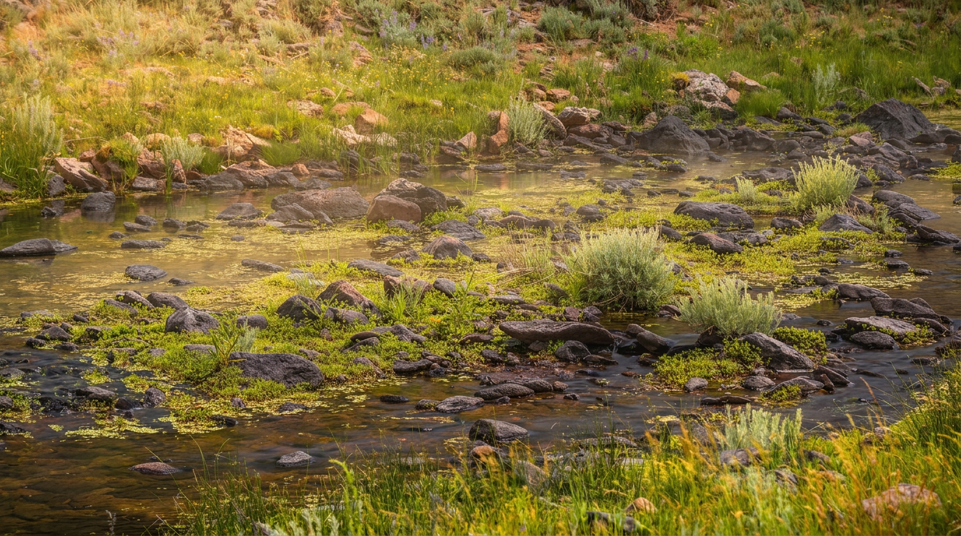
Indian Creek Trail (Deep Creek)
0.8 mi · easy · 100 ft gain
The Deep Creek Trail to Indian Creek Falls is a 1.6-mile round trip near Bryson City, passing Tom Branch Falls. Short, easy and family friendly.
-
 9
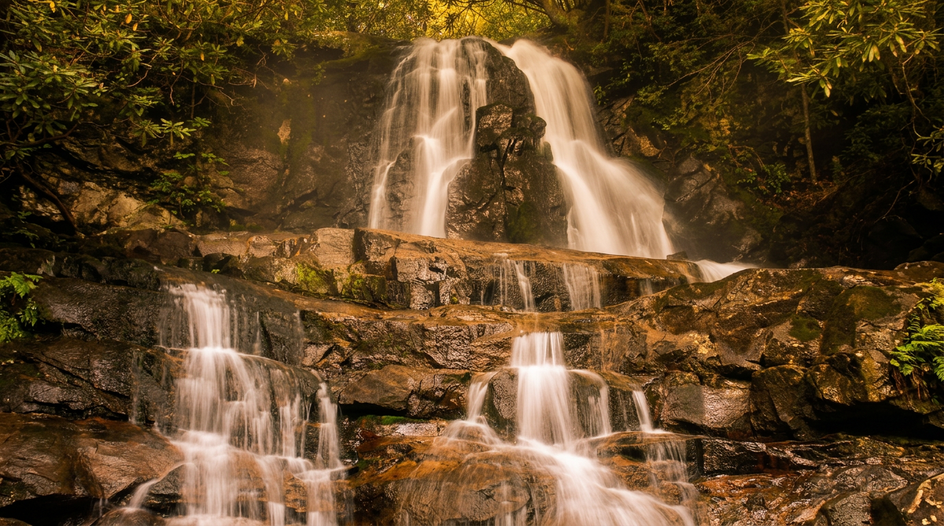
Laurel Falls Trail
1.3 mi · easy · 300 ft gain
Laurel Falls Trail is closed until sometime in 2027. See what is changing and which open waterfall hikes, like Grotto Falls and Rainbow Falls, to do instead.
-
 10
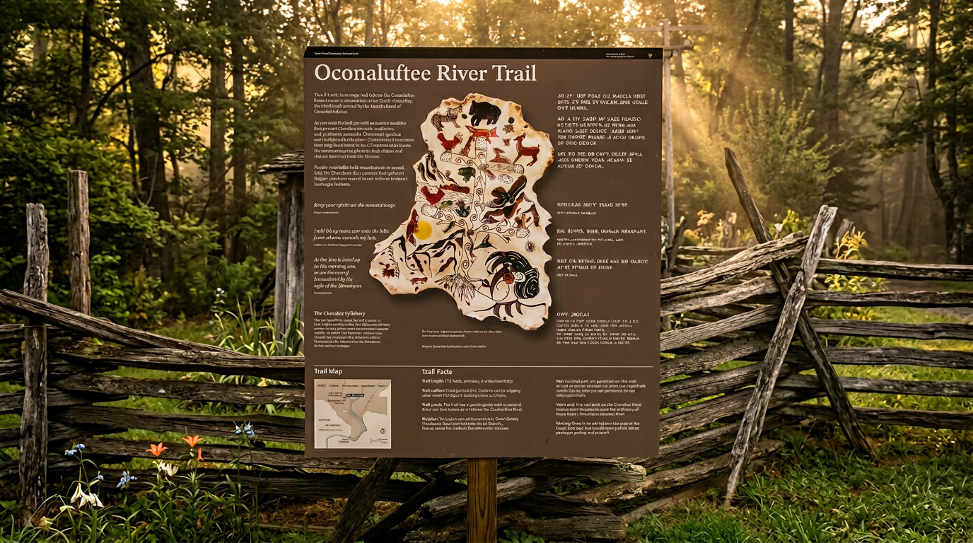
Oconaluftee River Trail
1.5 mi · easy
The Oconaluftee River Trail is an easy 3-mile round trip from the Oconaluftee Visitor Center, and one of two park trails that welcome dogs and bikes.
-
 11
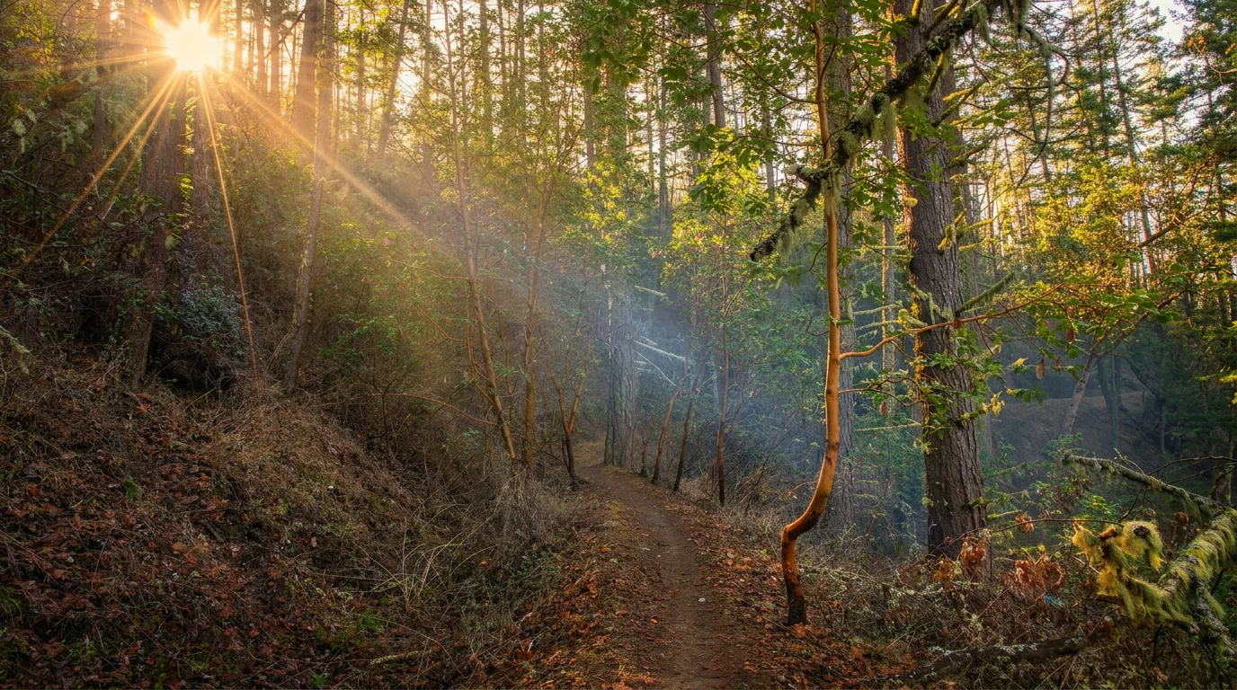
Deep Creek Horse Trail
1.8 mi · easy · 250 ft gain
Deep Creek Horse Trail is a gentle 1.8-mile connector near Bryson City between the Deep Creek and Noland Divide trails. Hikers may use it too.
-
 12
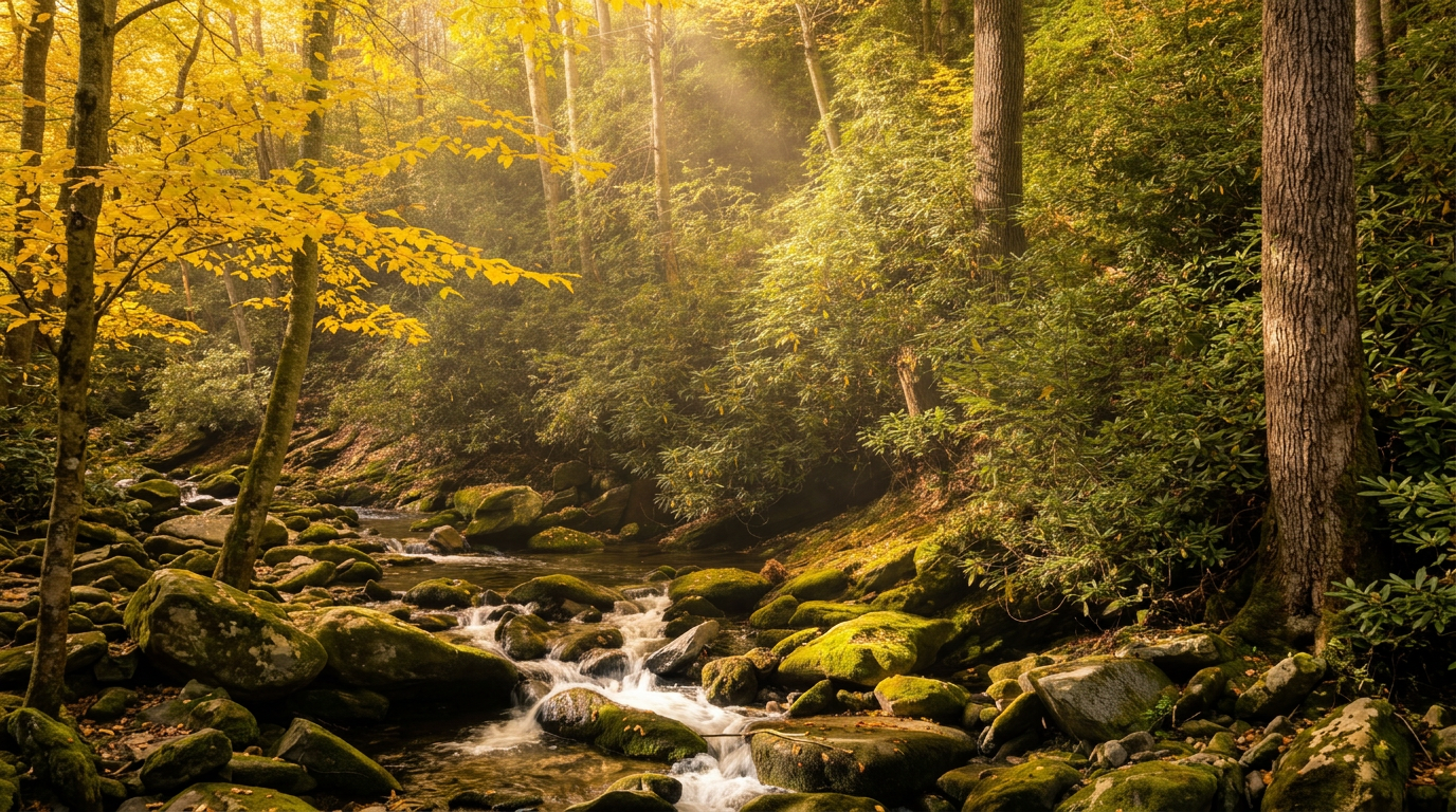
Gatlinburg Trail
2 mi · easy
Gatlinburg Trail is an easy 4-mile round trip along the Little Pigeon River near town, and one of just two park trails that allow dogs and bikes.
-
 13
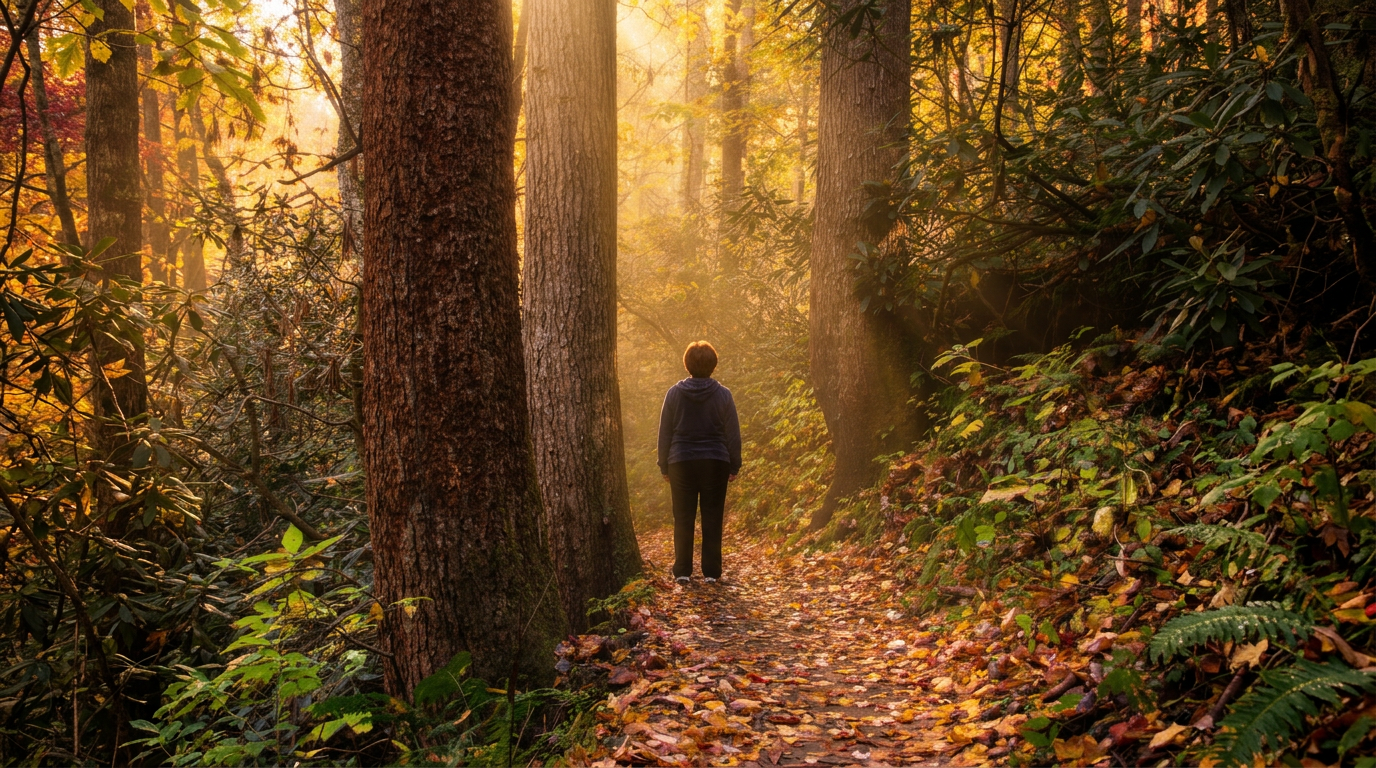
Joyce Kilmer Memorial Forest Trails
2 mi · easy
The Joyce Kilmer Memorial Loop is an easy 2-mile walk through a large old-growth forest near Robbinsville, NC, in the Nantahala National Forest, outside the national park.
- 14
Deep Creek Loop (Three Waterfalls Trail)
2.4 mi · easy · 200 ft gain
The Deep Creek Waterfalls Loop is a 2.4-mile route near Bryson City past Juney Whank, Tom Branch and Indian Creek Falls. A gentle hike for families.
-
 15
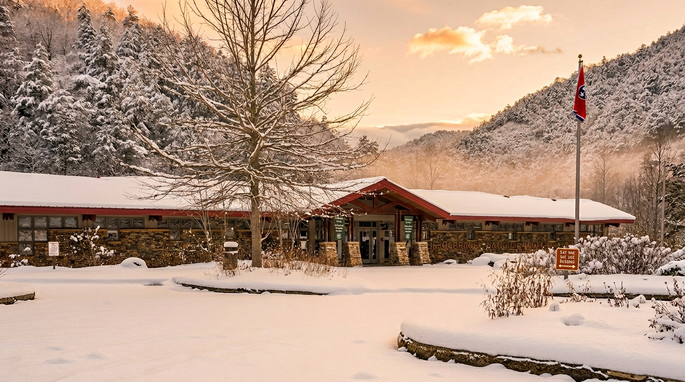
Ocoee Whitewater Center Trails
easy
The Ocoee Whitewater Center in the Cherokee National Forest has short trails beside the Olympic whitewater course, plus river views, rafting action and nearby bike trails.
Good to know
Best Easy Hikes in the Smokies: FAQ
Do I need a parking pass or reservation to hike these trails?
Which of these trails allow dogs?
When is the best time of year to hike easy trails in the Smokies?
Are any of these trails paved or suitable for strollers and wheelchairs?
The trails are labeled "easy", but how steep are they really?
Where to stay
Near the Smokies trailheads
Pick your spots, then lock in where you'll sleep. Compare live cabin, hotel, and rental prices nearby across Booking.com, Vrbo, and Expedia.
Map powered by Stay22, with live prices from booking sites. If you book through it, Mountain Insider may earn a commission at no extra cost to you. How we make money.
Keep exploring