

Trail guide
Best Hard Hikes in the Smokies
14 curated picks · updated
The hardest hikes in the Smokies are the Mount LeConte routes (Bullhead gains 3,800 feet in 13.8 miles), Maddron Bald (3,000 feet), Ramsey Cascades and Chimney Tops. Plan 6 to 9 hours for the big ones and start by 7:30 a.m. at popular trailheads. Bullhead Trail is closed Monday through Thursday until November 19, 2026.
The trails on this list earned their strenuous rating honestly. Bullhead Trail hauls you 3,800 vertical feet over 13.8 miles before Mount LeConte's summit; Maddron Bald climbs 3,000 feet through old-growth coves that see a fraction of the traffic Alum Cave gets on a busy weekend. Even the shortest entry, the paved ramp at Kuwohi (formerly Clingmans Dome), sustains roughly a 12% grade from start to finish, something most visitors don't realize until they're already laboring at 6,300 feet.
Picks are ordered by elevation gain, the most reliable single predictor of how hard a hike actually feels. Distance matters, but a flat 8-mile loop and an 8-mile ascent of 3,000 feet are entirely different days. The four highest entries (Bullhead, Maddron Bald, Trillium Gap to LeConte, Ramsey Cascades) involve sustained climbing with no real flat recovery sections; budget 6–9 hours for any of them, more if weather is uncertain.
A few practical notes before you start planning:
- Parking: A parking tag is required for any vehicle parked more than 15 minutes ($5 a day, $15 a week or $40 a year), sold at visitor centers, lot kiosks and recreation.gov. Federal passes are not accepted. Chimney Tops, Trillium Gap, and Ramsey Cascades trailheads fill well before 9am on summer weekends; arriving by 7:30am or after 4pm gives you the best odds at a spot.
- Seasonal conditions: Higher-elevation trails (the LeConte approaches, Maddron Bald, Kuwohi) can hold ice through April and again by November, and Kuwohi Road closes for the season after November 29 in 2026. Check the NPS trail conditions page before any early- or late-season hike.
- Reservations: None of these trails needs a timed-entry reservation, and neither do Newfound Gap Road, Kuwohi Road or Cades Cove. Bullhead Trail, the longest route to LeConte, is closed Monday through Thursday until November 19, 2026 for rehabilitation (it is open Friday through Sunday), so check the closures page before you commit.
- Connectivity: Cell coverage is essentially nonexistent past the first mile on all 14 of these trails. Download offline maps and a weather forecast before you leave the car.
The park doesn't require the advance permit lotteries that gatekeep many western parks, which keeps these trails accessible to anyone who shows up prepared. The real barrier is parking and crowds at the marquee trailheads: Chimney Tops, Ramsey Cascades, Trillium Gap, and the Alum Cave corridor to LeConte. Maddron Bald, Gabes Mountain, Boogerman, and Little Cataloochee deliver comparable difficulty with significantly less company on the trail.
Plan the rest of the trip with the hiking hub, the parking tag explainer, the fall color timing guide, Smokies itineraries and the events calendar.
- 1
Bullhead Trail to Mount LeConte
6.8 mi · strenuous · 3,800 ft gain
Bullhead Trail to Mount LeConte is a strenuous 13.6-mile round trip. It is closed Monday through Thursday through Nov. 19, 2026 for rehabilitation, so plan for Friday to Sunday.
-
 2
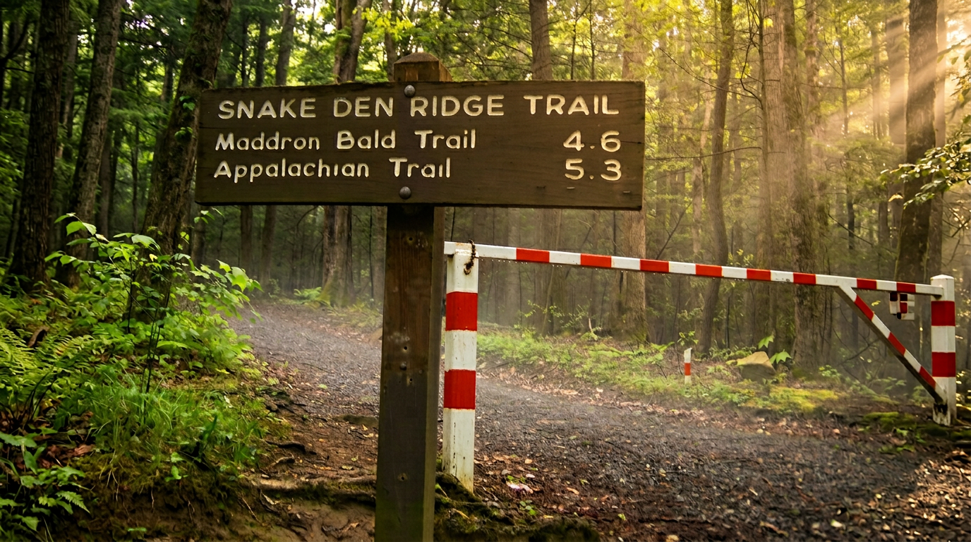
Maddron Bald Trail
7.1 mi · strenuous · 3,500 ft gain
Maddron Bald Trail climbs about 7 miles from the Cosby area past Albright Grove's old-growth giants to Maddron Bald. Strenuous, with 3,500 feet of climbing.
- 3
Bote Mountain Trail
6.8 mi · strenuous · 3,200 ft gain
Bote Mountain Trail climbs about 6.8 miles from Laurel Creek Road to Spence Field on the Appalachian Trail. A strenuous ridge route with links to Rocky Top.
-
 4
Hazel Creek Trail
14.3 mi · strenuous · 3,200 ft gain
Hazel Creek Trail is a remote 14-mile backcountry route up a historic watershed, reached by boat shuttle across Fontana Lake. Plan permits, shuttles and lake levels.
- 5
Spence Field (via Bote Mountain Trail)
6.8 mi · strenuous · 3,200 ft gain
Spence Field is a high grassy bald on the Appalachian Trail, reached by a strenuous 6.8-mile climb on Bote Mountain Trail. Rocky Top is about a mile farther.
- 6
Tricorner Knob (via AT)
15.6 mi · strenuous · 3,100 ft gain
Tricorner Knob is a remote Appalachian Trail shelter about 15 miles from Newfound Gap. A strenuous multi-day backpack that needs a backcountry permit and reservations.
- 7
Wolf Ridge Trail
6.2 mi · strenuous · 3,100 ft gain
Wolf Ridge Trail climbs about 6.2 miles and 3,100 feet from Twentymile to the Gregory Bald Trail. A strenuous, quiet route in the park's southwest.
- 8
Old Settlers Trail
15.5 mi · strenuous · 3,000 ft gain
Old Settlers Trail runs about 15.5 miles between Greenbrier and Cosby past old homesites and chimneys. A long, strenuous point-to-point best done as an overnight.
- 9
Trillium Gap Trail (to Grotto Falls and Mount LeConte)
6.5 mi · strenuous · 3,000 ft gain
The Trillium Gap Trail passes Grotto Falls and climbs to Mount LeConte, a strenuous 13-mile round trip. Most visitors stop at the waterfall; the summit is a long day.
- 10
Mingus Creek Trail
5.8 mi · strenuous · 2,900 ft gain
Mingus Creek Trail climbs about 5.8 miles from the Mingus Mill area near Cherokee to Newton Bald Trail. Strenuous and quiet; Mingus Mill itself is closed.
- 11
Fork Ridge Trail
5 mi · strenuous · 2,750 ft gain
Fork Ridge Trail drops about 5 miles and 2,750 feet from Kuwohi Road to the Deep Creek Trail. A steep one-way descent that needs a shuttle.
-
 12
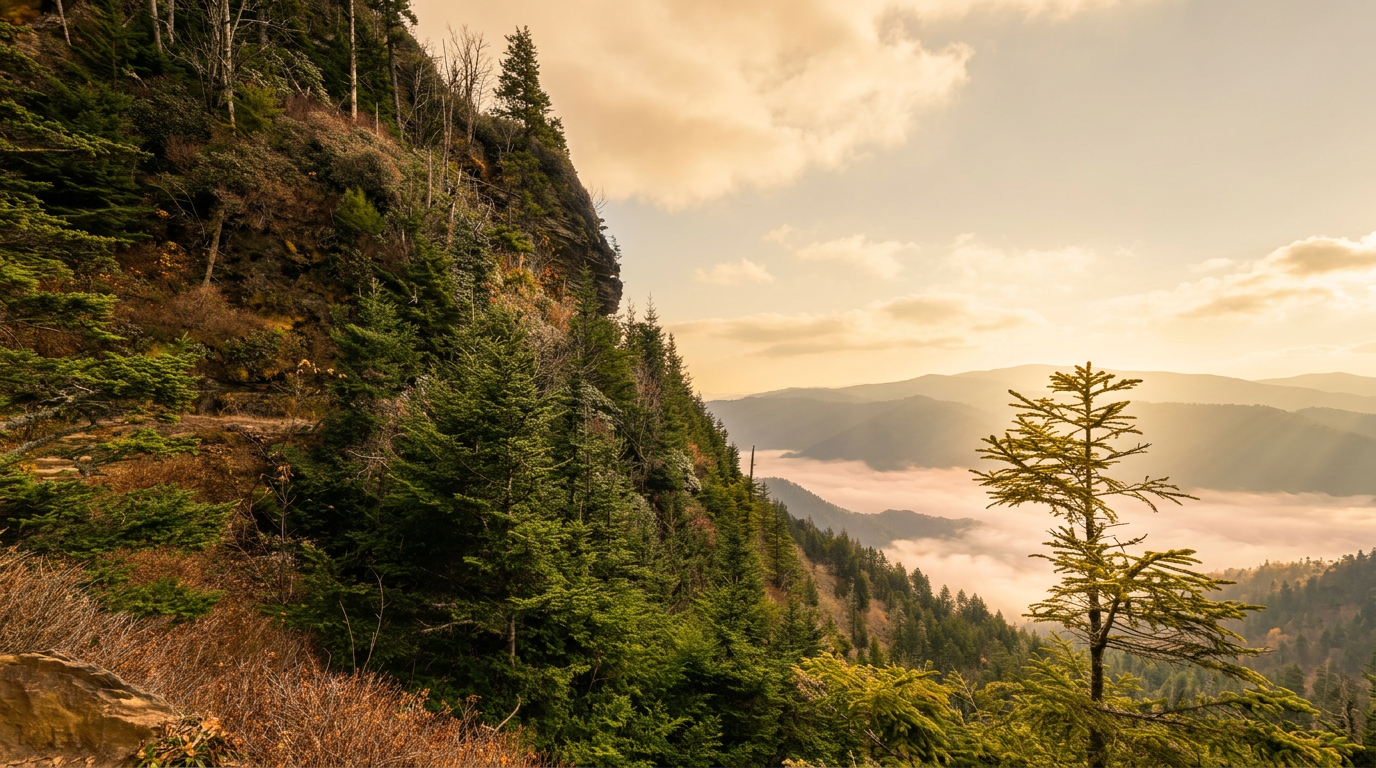
Alum Cave Trail to Mount LeConte
5 mi · strenuous · 2,700 ft gain
Alum Cave Trail climbs past Arch Rock and the bluffs toward Mount LeConte: 4.6 miles round trip to the bluffs, a strenuous 10 miles to the summit.
- 13
Dry Sluice Gap Trail
4.1 mi · strenuous · 2,450 ft gain
Dry Sluice Gap Trail is a strenuous 4.1-mile backcountry climb to the Appalachian Trail from the Smokemont area. Best for experienced hikers with a map and a plan.
- 14
Cold Spring Gap Trail
4.3 mi · strenuous · 2,400 ft gain
Cold Spring Gap Trail is a strenuous 4.3-mile backcountry link between Hazel Creek and Welch Ridge, reached by long hikes or a Fontana Lake shuttle.
Good to know
Best Hard Hikes in the Smokies: FAQ
What does 'strenuous' actually mean on Smokies trails?
Do I need a permit or reservation to hike these trails?
When is the best time to tackle hard hikes in the Smokies?
Is Kuwohi (formerly Clingmans Dome) really strenuous if it's only a mile?
How serious is the bear situation on these trails?
Where to stay
Near the Smokies high country
Pick your spots, then lock in where you'll sleep. Compare live cabin, hotel, and rental prices nearby across Booking.com, Vrbo, and Expedia.
Map powered by Stay22, with live prices from booking sites. If you book through it, Mountain Insider may earn a commission at no extra cost to you. How we make money.
Keep exploring