

Trail guide
Best Moderate Hikes in the Smokies
15 curated picks · updated
The best moderate day hikes in the Smokies run from 0.6-mile Juney Whank Falls to the 5-mile round trip to Alum Cave Bluffs (about 1,200 feet of climbing), with Abrams Falls, Grotto Falls and Andrews Bald in between. Moderate here means sustained elevation gain, not just distance. Inside the park, a parking tag ($5 a day) is required.
The range on this list is worth knowing before you pick a trail. Juney Whank Falls is 0.6 miles round-trip; the John Muir Trail along the Hiwassee runs 10.5. Both earn the "moderate" label, which tells you something about how the Park Service and most trail databases apply the rating: elevation gain per mile matters more than total distance. A short trail with relentless switchbacks rates harder than a long flat one, so use the gain figures alongside the mileage when deciding what fits your group.
Twelve of the fifteen trails run inside Great Smoky Mountains National Park. Those trailheads require a parking tag on your dashboard for any vehicle parked more than 15 minutes ($5 a day, $15 a week or $40 a year), sold at visitor centers, lot kiosks and recreation.gov. It isn't an entrance fee, since the park has none, but rangers do check, and America the Beautiful and other federal passes are not accepted. Bald River Falls, House Mountain State Natural Area, and the John Muir Trail along the Hiwassee fall under different managing agencies and don't use the GSMNP tag system.
Seasonal timing affects almost every pick on this list. Abrams Falls and Grotto Falls draw the largest crowds from late May through Labor Day; arriving before 9 a.m. gives you a reasonable shot at trailhead parking without circling. Fall color peaks roughly mid-October at lower elevations, making Andrews Bald and Alum Cave the strongest fall choices here. Winter is quiet on most of these trails, though Mouse Creek and Caldwell Fork can ice over, and Kuwohi Road (formerly Clingmans Dome Road) closes for the winter, which in 2026 begins after November 29, and shuts sooner whenever snow or ice arrives, taking the Forney Ridge trailhead with it.
A few practical notes before you go:
- Huskey Gap is a point-to-point trail; plan for a two-car shuttle or expect to retrace your steps for 4.2 miles round-trip.
- Alum Cave Trail to the bluffs is moderate; continuing to the summit of LeConte adds 5 miles and reclassifies as strenuous.
- Several trails here cross creeks without bridges, and water levels vary significantly after rain.
- Black bears are active throughout the park, carry bear spray and store food in your car, not at the trailhead.
Plan the rest of the trip with the hiking hub, the parking tag explainer, the fall color timing guide, Smokies itineraries and the events calendar.
- 1
Juney Whank Falls Trail (Deep Creek)
0.3 mi · moderate · 100 ft gain
Juney Whank Falls is a short, steep walk from Deep Creek Campground to a thin double waterfall. Under a mile round trip and an easy add-on.
- 2
Mingo Falls Trail (Qualla Boundary / EBCI Lands)
0.4 mi · moderate · 150 ft gain
Mingo Falls is a short, steep staircase walk near Cherokee, NC, to a waterfall about 120 feet tall. It is on Qualla Boundary land, not in the national park.
- 3
Kuwohi (Clingmans Dome) Paved Trail
0.5 mi · moderate · 300 ft gain
The paved path to Kuwohi's tower is a steep one-mile round trip to the park's highest point. Kuwohi Road is open April 1 to Nov. 29 in 2026.
- 4
Chimney Rock State Park Trails
0.7 mi · moderate · 360 ft gain
Chimney Rock State Park has the 404-foot Hickory Nut Falls (1.4 miles round trip) and the Chimney Rock monolith. It is in North Carolina, outside the park.
- 5
Turkeypen Ridge Trail
3.6 mi · moderate · 370 ft gain
Turkeypen Ridge Trail is a quiet 3.6-mile ridge walk from Laurel Creek Road to the Schoolhouse Gap Trail. Moderate and rolling, with far fewer people than Cades Cove.
-
 6
Ace Gap Trail
5.3 mi · moderate · 450 ft gain
Ace Gap Trail is a quiet 5.3-mile route from Rich Mountain Road above Cades Cove to the Beard Cane Trail. Moderate terrain and few other hikers.
- 7
Bald River Falls Trail
4.8 mi · moderate · 480 ft gain
Bald River Falls drops roughly 90 to 100 feet beside Tellico River Road in the Cherokee National Forest, with a trail upstream into the gorge.
-
 8
Grotto Falls Trail (Trillium Gap Trail)
1.3 mi · moderate · 500 ft gain
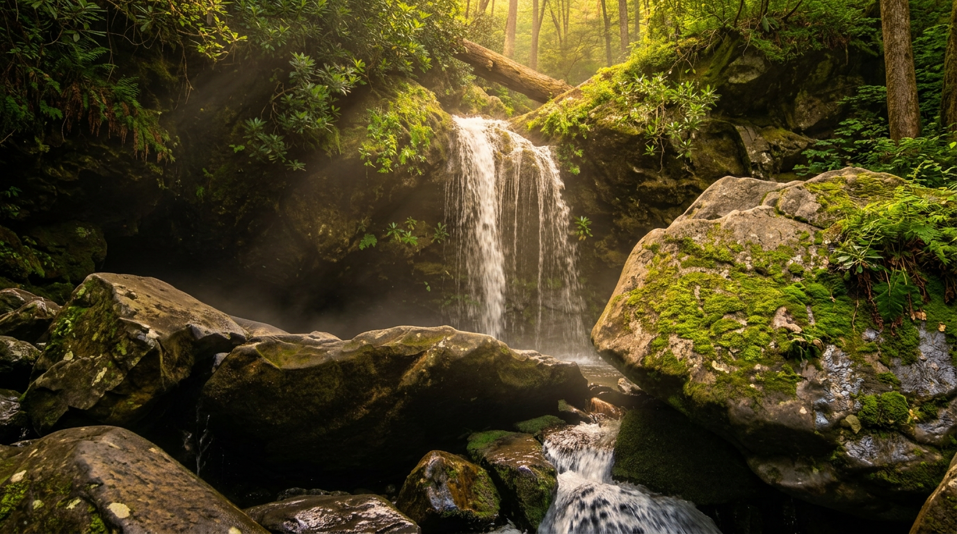
Grotto Falls is a 2.6-mile round trip on the Trillium Gap Trail to a waterfall you can walk behind. Moderate, muddy in spots, and a good Laurel Falls alternative.
- 9
Flat Creek Trail
2.6 mi · moderate · 520 ft gain
Flat Creek Trail runs about 2.6 miles between Heintooga Ridge Road and the Heintooga Picnic Area through cool high forest. A quiet, moderate hike in summer and fall.
-
 10
Big Creek Trail
2 mi · moderate · 530 ft gain
Big Creek Trail follows an old railroad grade on the quiet NC side of the park. After Helene only the first two miles, to Mouse Creek Falls, are open.
-
 11
Mouse Creek Falls Trail (Big Creek)
2 mi · moderate · 530 ft gain
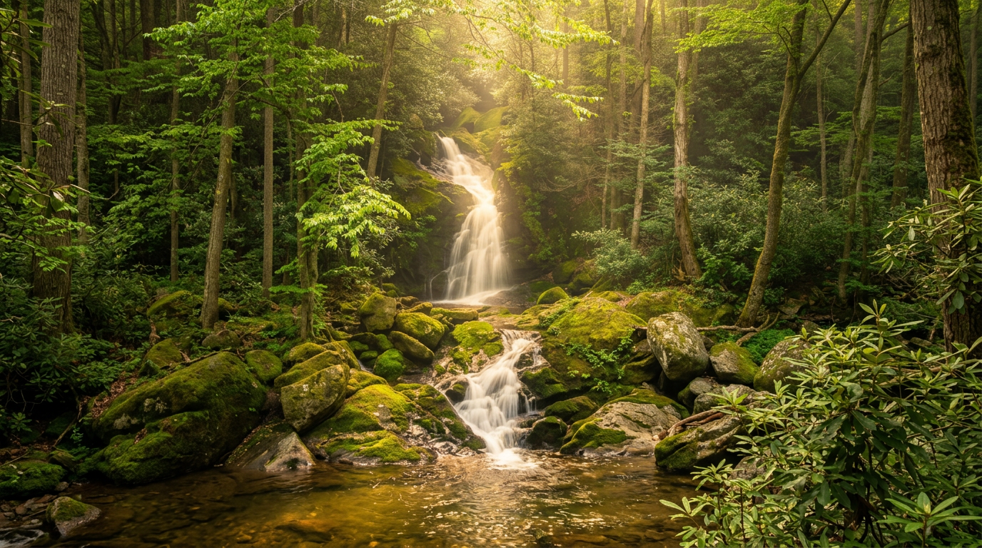
Mouse Creek Falls is a 4-mile round trip from Big Creek, past Midnight Hole, to a 45-foot waterfall. It is the end of the open trail after Helene.
- 12
Andrews Bald Trail (via Forney Ridge Trail)
1.8 mi · moderate · 550 ft gain
Andrews Bald is a 3.6-mile round trip from the Kuwohi lot to a grassy bald with big views and summer azaleas. The climb back is the hard part.
- 13
Hen Wallow Falls Trail (Cosby)
2.15 mi · moderate · 600 ft gain
Hen Wallow Falls is a 4.3-mile round trip from Cosby to a 90-foot waterfall. Moderate, with some switchbacks, and quieter than the waterfall hikes near Gatlinburg.
-
 14
Cooper Road Trail
10.9 mi · moderate · 650 ft gain
Cooper Road Trail is a 10.9-mile one-way old road from Cades Cove toward Abrams Creek. Gentle grades, but a long day that works best with a shuttle.
- 15
Porters Creek Trail (Greenbrier)
2 mi · moderate · 650 ft gain
Porters Creek Trail in Greenbrier is about 4 miles round trip to Fern Branch Falls, with spring wildflowers, a creek and homesite ruins along the way.
Good to know
Best Moderate Hikes in the Smokies: FAQ
Do all 15 trails require the Park-It-Forward parking tag?
What's the best time of year for moderate hikes in the Smokies?
How hard is "moderate" for someone used to hiking flat terrain?
Are permits required for any of these hikes?
The Alum Cave Trail listing says both moderate and strenuous, which is it?
Where to stay
Near the Smokies trailheads
Pick your spots, then lock in where you'll sleep. Compare live cabin, hotel, and rental prices nearby across Booking.com, Vrbo, and Expedia.
Map powered by Stay22, with live prices from booking sites. If you book through it, Mountain Insider may earn a commission at no extra cost to you. How we make money.
Keep exploring