

Waterfall guide
Easy-to-Reach Roadside Waterfalls
10 curated picks · updated
The easiest waterfalls near the Smokies include Whitewater Falls (411 feet, under a quarter mile from the lot), Mingo Falls (120 feet, 0.15 miles), Cataract Falls and Soco Falls. Every pick here is 0.5 miles or less, though wet rock makes even short walks slippery, and park lots fill by 9 a.m. on fall weekends.
All twelve of these trails are 0.5 miles or under. That constraint filters out the deep-woods all-day affairs and keeps the focus on falls you can reach without planning a full expedition, though it doesn't make them less worth the drive. Whitewater Falls drops 411 feet, among the highest cascades in the eastern United States, and the walk from the parking lot is under a quarter mile.
These twelve picks span several different land managers: the national park proper, the Qualla Boundary near Cherokee, NC (Mingo and Soco Falls), DuPont State Forest (Hooker Falls, Triple Falls), and Nantahala National Forest. That matters practically since each jurisdiction has its own rules and fees. Laurel Falls, the paved favorite, is closed until 2027, so check the closures page before you go. For falls inside Great Smoky Mountains National Park, any vehicle parked more than 15 minutes needs a parking tag ($5 a day, $15 a week or $40 a year), sold at visitor centers, kiosks and recreation.gov. Federal passes are not accepted, and the money stays in the park. During peak season, roughly Memorial Day through October, the most popular GSMNP trailhead lots fill before 9 a.m. on weekends, so arriving before 8 or after 4 p.m. sidesteps most of the crunch.
Spring is the best time to catch these falls at full volume. Snowmelt and April rain push flows to their peak; the difference between visiting in late April and late August is noticeable at every size, and dramatic at the smaller cascades. Huskey Branch tops out at 10 feet and School Branch at 15; both slow substantially in dry summers. Even Whitewater Falls (411 ft) and Mingo (120 ft) are most impressive in April.
Wet rock is the consistent hazard across all twelve sites. These are short hikes, but several descend steeply to streambanks, and Soco Falls is documented as steep and slippery even at 0.1 miles. Trail length isn't a reliable proxy for difficulty; shoes with real grip matter everywhere on this list.
- Season: April–May for peak flow; October for fall color
- GSMNP parking: parking tag, $5 a day or $15 a week
- Dogs: Not allowed on GSMNP trails (only the Gatlinburg and Oconaluftee River trails take leashed dogs); check DuPont and Nantahala separately
- Crowds: Worst on summer weekends; arrive before 8 a.m. or after 4 p.m.
More to plan with: the waterfalls hub, the Roaring Fork guide, the parking tag explainer, the fall color timing guide and the events calendar.
- 1
Dry Falls
75 ft · 0.1 mi hike
Dry Falls is a 75-foot waterfall on the Cullasaja River near Highlands, North Carolina, where a short paved path lets you walk behind the curtain of water.
- 2
Silver Run Falls
25 ft · 0.2 mi hike
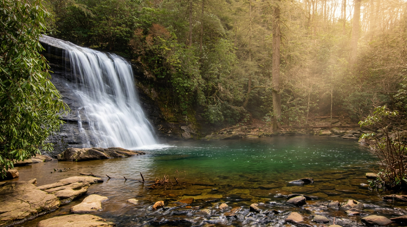
Silver Run Falls is a 25-foot waterfall into a clear pool, about a 0.4-mile round trip from a parking area on NC-107 south of Cashiers, North Carolina.
-
 3
Soco Falls
0.2 mi hike
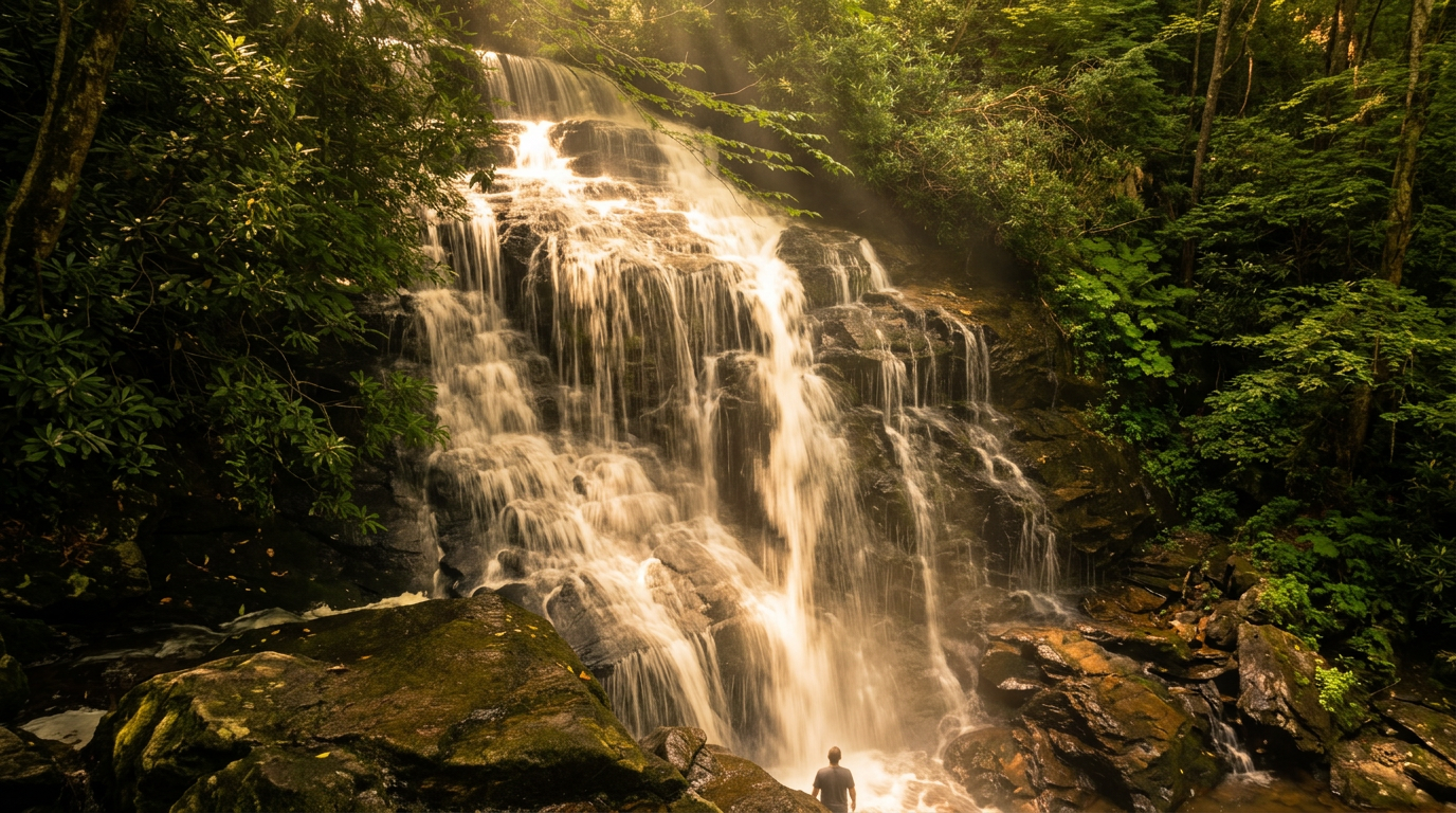
Soco Falls is a double waterfall on US-19 between Maggie Valley and Cherokee, reached by a short, steep path to a viewing platform from a lot on Cherokee land.
- 4
Mingo Falls
120 ft · 0.25 mi hike
Mingo Falls spills about 120 feet down Mingo Creek on the Qualla Boundary near Cherokee, reached by a short climb of 161 steps to a viewing bridge.
- 5
Whitewater Falls (Upper & Lower)
411 ft · 0.25 mi hike
Upper Whitewater Falls drops about 411 feet in Nantahala National Forest, reached by a paved quarter-mile walk. The Forest Service calls it the highest waterfall east of the Rockies.
- 6
Hooker Falls (DuPont State Forest)
12 ft · 0.3 mi hike
Hooker Falls is a wide, 12-foot drop on the Little River, an easy short walk from the Hooker Falls lot in DuPont State Recreational Forest near Brevard, North Carolina.
- 7
Tom Branch Falls
60 ft · 0.3 mi hike
Tom Branch Falls is the easiest waterfall at Deep Creek, about 0.3 miles from the trailhead on a flat gravel path with benches facing the falls.
- 8
Cataract Falls
40 ft · 0.35 mi hike
Cataract Falls is a narrow 40-foot cascade, a 0.7-mile round-trip walk from the Sugarlands Visitor Center and the easiest waterfall near Gatlinburg. Go after a good rain.
-
 9
Glen Falls
60 ft · 0.5 mi hike
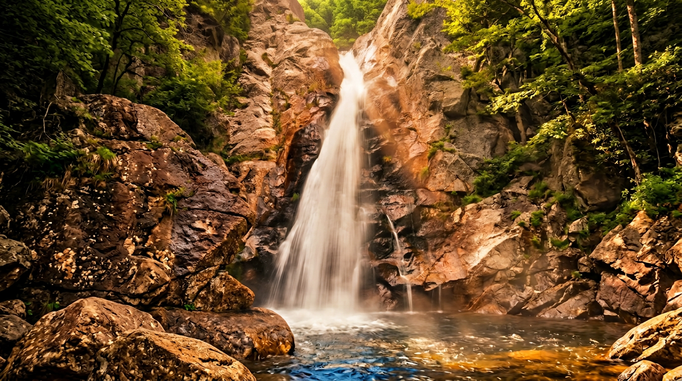
Glen Falls (often spelled Glenn) spills about 60 feet in three drops south of Highlands, North Carolina, reached by a short trail with stairs and steep sections.
-
 10
Triple Falls (DuPont State Forest)
120 ft · 0.5 mi hike
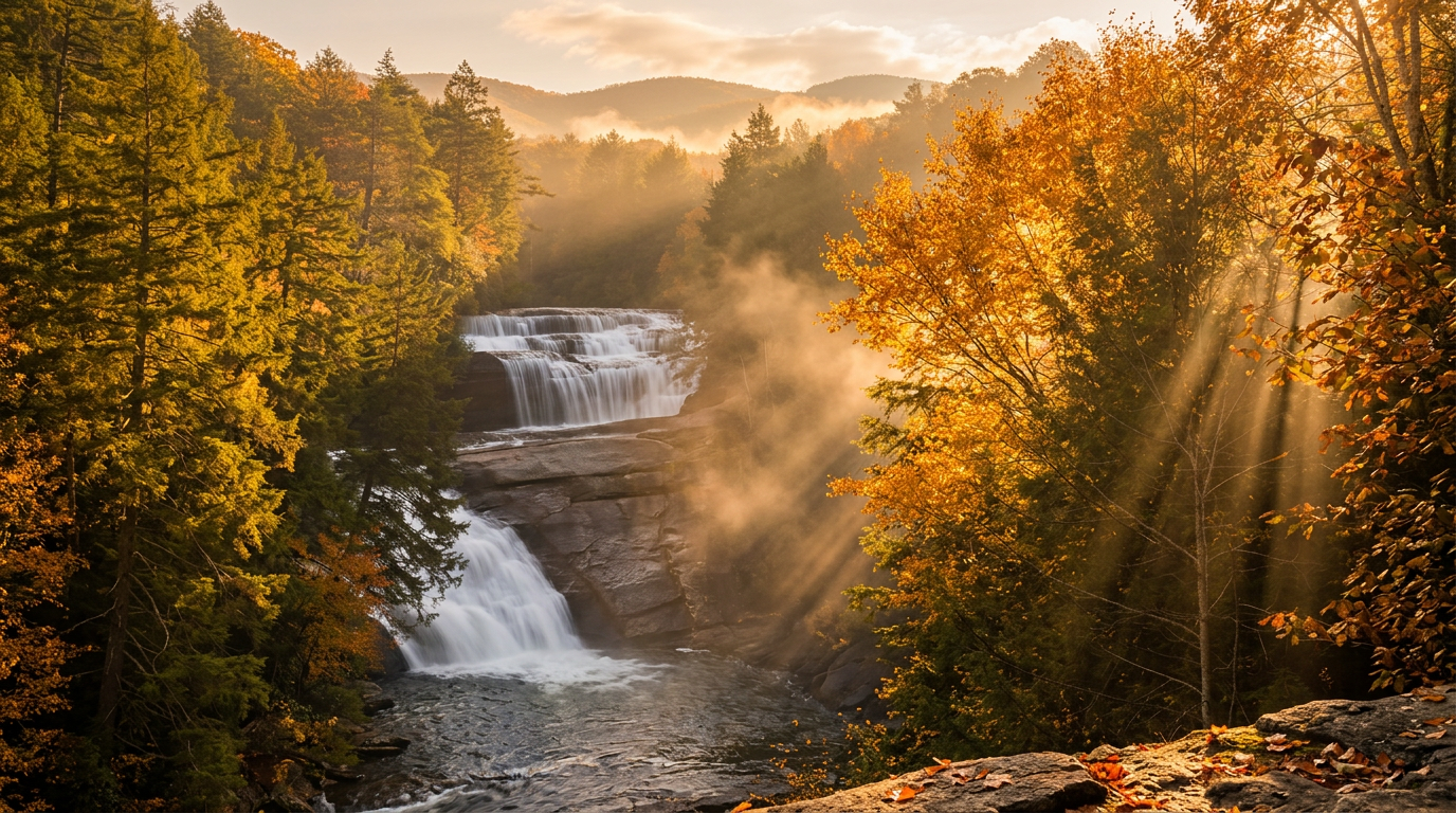
Triple Falls drops about 120 feet in three tiers on the Little River in DuPont State Recreational Forest, about a half-mile walk from the Hooker Falls lot.
Good to know
Easy-to-Reach Roadside Waterfalls: FAQ
Do I need to pay an entrance or parking fee?
When do these waterfalls run at their strongest?
Are these hikes suitable for young children or people with limited mobility?
Is swimming or wading allowed?
How far are these falls from Gatlinburg or Cherokee?
Where to stay
Near Smokies waterfalls
Pick your spots, then lock in where you'll sleep. Compare live cabin, hotel, and rental prices nearby across Booking.com, Vrbo, and Expedia.
Map powered by Stay22, with live prices from booking sites. If you book through it, Mountain Insider may earn a commission at no extra cost to you. How we make money.
Keep exploring